Wochenmarkt Historischer Marktplatz
Wochenmarkt Historischer Marktplatz is a marketplace in Hildesheim, Hanover Region, Lower Saxony. Wochenmarkt Historischer Marktplatz is situated nearby to the fountain Rolandbrunnen, as well as near the retail building Bäckeramtshaus.| Tap on a place to explore it |
Places of Interest Nearby
Highlights include Historic Market Place, Hildesheim and Hildesheim Town Hall.
Historic Market Place, Hildesheim
 The Historic Market Place is a historical structure in the city of Hildesheim in Lower Saxony, Germany.


Places in the Area
Nearby places include Moritzberg and Barienrode.
Moritzberg
Neighborhood
Moritzberg is a quarter in the city of Hildesheim in Lower Saxony, Germany. It is on a hill in the west of the city, about a mile from the Cathedral. It was an independent market town until 1911.
Barienrode
Village

Photo: Torbenbrinker, CC BY-SA 3.0.
Barienrode is a village, which is situated 4½ km south of Wochenmarkt Historischer Marktplatz.
Asel (Harsum)
Village
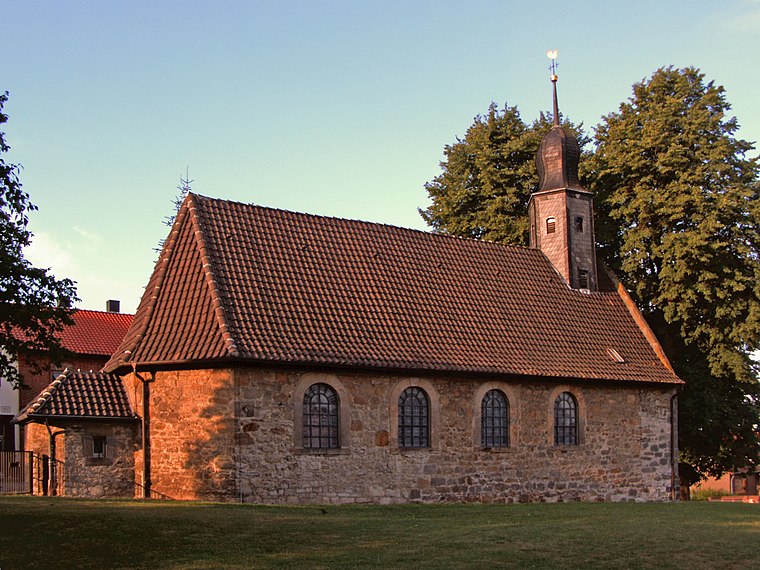
Photo: Kirchenfan, CC0.
Asel (Harsum) is a village, which is situated 4½ km north of Wochenmarkt Historischer Marktplatz.
Wochenmarkt Historischer Marktplatz
- Type: Marketplace
- Location: Hildesheim, Hildesheim, Hanover Region, Lower Saxony, Germany, Central Europe, Europe
- View on OpenStreetMap
Latitude
52.15285° or 52° 9′ 10″ northLongitude
9.95152° or 9° 57′ 6″ eastOpen location code
9F4F5X32+4JOpenStreetMap ID
node 6025036161OpenStreetMap feature
amenity=marketplace
This page is based on OpenStreetMap, Wikidata, and Wikimedia Commons.
We’d love your help improving our open data sources. Thank you for contributing.
Satellite Map
Discover Wochenmarkt Historischer Marktplatz from above in high-definition satellite imagery.
Notable Places Nearby
Highlights include Markt and Bäckeramtshaus.
Nearby Places
Explore places such as KA7 Restaurant im Knochenhauer Amtshaus and Rokokohaus.
Hanover Region: Must-Visit Destinations
Delve into Hanover, Nienburg, Verden an der Aller, and Alfeld.
Curious Marketplaces to Discover
Uncover intriguing marketplaces from every corner of the globe.
About Mapcarta. Data © OpenStreetMap contributors and available under the Open Database License". Text is available under the CC BY-SA 4.0 license, except for photos, directions, and the map. Photo: Mey2008, CC BY-SA 3.0.