Vanajan Kone
Vanajan Kone is a shop in Hattula, Hämeenlinna, Tavastia Proper which is located on Mierolantie. Vanajan Kone is situated nearby to the church Hattulan Kotikirkko, as well as near the marina Hattulan satama.| Tap on a place to explore it |
Places of Interest Nearby
Highlights include Mierola Bridge and Holy Cross Church.
Mierola Bridge
Bridge
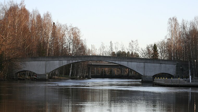
Photo: Htm, CC BY-SA 3.0.
Mierola Bridge is situated 520 metres northeast of Vanajan Kone.
Holy Cross Church
Church
 The Holy Cross Church in Parola, Hattula, Finland, is the oldest church in the former Tavastia province. In the Middle Ages, the Church of the Holy Cross, known as a pilgrimage site, became famous for its frescoes. Holy Cross Church is situated 1¼ km southeast of Vanajan Kone.
Hattula Church
Church

Photo: Wikimedia, Public domain.
Hattula Church is situated 1 km north of Vanajan Kone.
Places in the Area
Nearby places include Parola and Lepaa.
Parola
Town

Photo: Junafani, CC BY-SA 3.0.
Parola is an urban area located in the municipality of Hattula in the Kanta-Häme region of Finland. It is notable for its rich history that intertwines ancient settlement, medieval culture, and significant military heritage.
Lepaa
Village

Photo: Magnus von Wright, Public domain.
Lepaa is a village, which is situated 7 km north of Vanajan Kone.
Linnanniemi
Quarter

Photo: Abc10, CC BY-SA 4.0.
Linnanniemi is a quarter, which is situated 8 km southeast of Vanajan Kone.
Vanajan Kone
- Type: Shop
- Address: Mierolantie 6, Hattula, 13720
- Location: Hattula, Hämeenlinna, Tavastia Proper, Southern Finland, Finland, Nordic countries, Europe
- View on OpenStreetMap
Latitude
61.05956° or 61° 3′ 34″ northLongitude
24.38538° or 24° 23′ 7″ eastOperator
Vanajan Kone OyOpen location code
9GH6395P+R5OpenStreetMap ID
node 6025459921OpenStreetMap feature
shop=repair
This page is based on OpenStreetMap, Wikidata, and Wikimedia Commons.
We’d love your help improving our open data sources. Thank you for contributing.
Satellite Map
Discover Vanajan Kone from above in high-definition satellite imagery.
Notable Places Nearby
Highlights include Hattulan Kotikirkko and Hattulan satama.
Nearby Places
Explore places such as Parolan Teltta Oy and Sporttiveikot Oy.
Tavastia Proper: Must-Visit Destinations
Delve into Hämeenlinna, Riihimäki, Forssa, and Janakkala.
Curious Shops to Discover
Uncover intriguing shops from every corner of the globe.
About Mapcarta. Data © OpenStreetMap contributors and available under the Open Database License". Text is available under the CC BY-SA 4.0 license, except for photos, directions, and the map. Photo: Wikimedia, CC0.