Ireland Dublin Christian Life Church
Ireland Dublin Christian Life Church is an office in Dublin, Leinster which is located on Burnside Lane. Ireland Dublin Christian Life Church is situated nearby to the community center Saint Pappin’s Hall, as well as near the health club E.M. Fitness.| Tap on a place to explore it |
Places of Interest Nearby
Highlights include Santry and Beaumont Hospital.
Santry
Stadium

Photo: Peter Gerken, CC BY-SA 2.0.
Morton Stadium, or the National Athletics Stadium, is an athletics stadium in Santry Demesne, Santry in Ireland. Often called Santry Stadium, it is the centre for athletics events in Dublin city and the home track of Clonliffe Harriers. Santry is situated 460 metres north of Ireland Dublin Christian Life Church.
Beaumont Hospital
Hospital
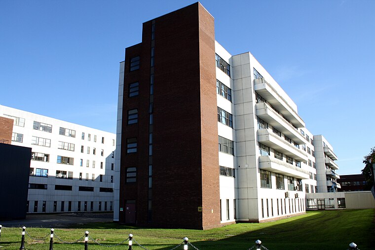
Photo: RavensFists, Public domain.
Beaumont Hospital is a large teaching hospital located in Beaumont, Dublin, Ireland. It is managed by RCSI Hospitals - one of the hospital groups established by the Health Service Executive. Beaumont Hospital is situated 1½ km southeast of Ireland Dublin Christian Life Church.
Ellenfield Park
Park
Ellenfield Park is a public park in Whitehall, Dublin, managed by Dublin City Council's parks department. Ellenfield Park is situated 1¼ km south of Ireland Dublin Christian Life Church.
Places in the Area
Nearby places include Santry and Beaumont.
Santry
Suburb

Photo: Peter Gerken, CC BY-SA 2.0.
Santry is a suburb on the northside of Dublin, Ireland, bordering Coolock, Glasnevin, Kilmore and Ballymun. It straddles the boundary of Dublin City Council and Fingal County Council jurisdictions.
Beaumont
Suburb
Photo: sarah gallagher, CC BY-SA 2.0.
Beaumont is a northside suburb of Dublin city, Ireland, bordered by Donnycarney, Santry and Artane. It lies within the postal district of Dublin 9.
Ballymun
Suburb

Photo: JP, CC BY-SA 2.0.
Ballymun is a suburb of Dublin, Ireland, at the northern edge of the city's Northside. Ballymun has several sub-districts, such as Sillogue, Coultry, Shangan and Poppintree, and is close to Dublin Airport.
Ireland Dublin Christian Life Church
- Type: Office
- Address: Burnside Lane
- Location: Dublin, Leinster, Ireland, Britain and Ireland, Europe
- View on OpenStreetMap
Latitude
53.39681° or 53° 23′ 49″ northLongitude
-6.24304° or 6° 14′ 35″ westOpen location code
9C5M9QW4+PQOpenStreetMap ID
node 6050242240OpenStreetMap feature
office=church
This page is based on OpenStreetMap, Wikidata, and Wikimedia Commons.
We’d love your help improving our open data sources. Thank you for contributing.
Satellite Map
Discover Ireland Dublin Christian Life Church from above in high-definition satellite imagery.
Notable Places Nearby
Highlights include Saint Pappin’s Hall and Saint Pappin’s.
Nearby Places
Explore places such as Imaal and Santry 38kV Substation.
Ireland: Must-Visit Destinations
Delve into Cork, Limerick, Galway, and Waterford.
Curious Offices to Discover
Uncover intriguing offices from every corner of the globe.
About Mapcarta. Data © OpenStreetMap contributors and available under the Open Database License". Text is available under the CC BY-SA 4.0 license, except for photos, directions, and the map. Photo: Wikimedia, CC0.