Meadowcliff/ Brookwood
Meadowcliff/ Brookwood is a neighborhood in Big Rock Township, Pulaski, Arkansas. Meadowcliff/ Brookwood is situated nearby to the neighborhood Arbor Cove, as well as near Beverly Terrace.| Tap on a place to explore it |
Places of Interest
Highlights include Boyle Park and John L. McClellan High School.
Boyle Park
Park
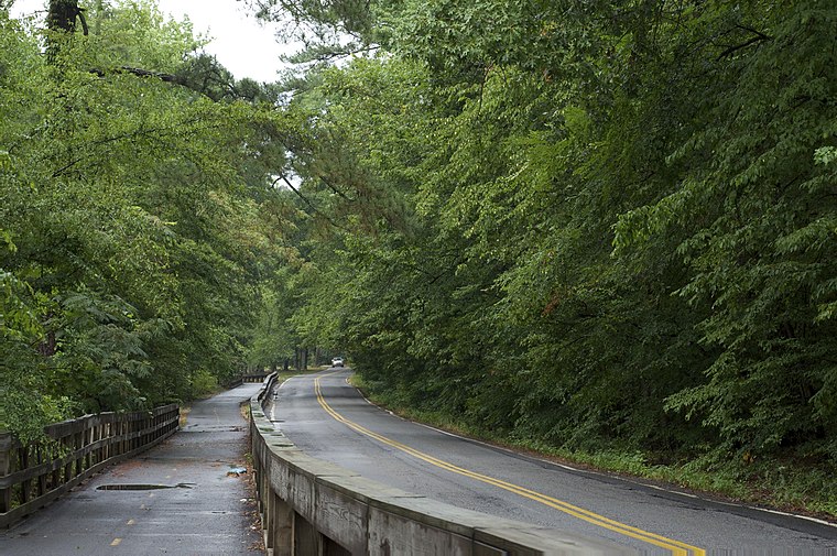
Photo: Eric in SF, CC BY-SA 3.0.
Boyle Park is an approximately 250 acre urban park located in west-central Little Rock. The land for Boyle Park was donated to the City of Little Rock in 1929 by Dr. Boyle Park is situated 2½ miles north of Meadowcliff/ Brookwood.
John L. McClellan High School
School
John L. McClellan High School was a high school in Little Rock, Arkansas. McClellan served students in grades nine through twelve and was part of the Little Rock School District from 1987 to 2020 and part of the Pulaski County Special School District before joining the Little Rock School District. John L. McClellan High School is situated 2 miles south of Meadowcliff/ Brookwood.
Places in the Area
Nearby places include Base Line and Mabelvale.
Base Line
Hamlet
Base Line is a small community in Pulaski County, Arkansas, United States. Base Line is located in Southwest Little Rock. Base Line is situated 2½ miles southeast of Meadowcliff/ Brookwood.
Mabelvale
Hamlet
Mabelvale was a small, unincorporated train station town in southwestern Pulaski County, Arkansas, until being annexed into Little Rock following a special election that was held on May 3, 1973. Mabelvale is situated 3½ miles southwest of Meadowcliff/ Brookwood.
Big Rock Interchange
Locality
The Big Rock Interchange is the I-430/I-630/Chenal Parkway interchange in west Little Rock, Arkansas. The name is derived from a large rock formation discovered during expansion. Big Rock Interchange is situated 4½ miles northwest of Meadowcliff/ Brookwood.
Meadowcliff/ Brookwood
- Type: Neighborhood
- Also known as: “Brookwood”
- Category: locality
- Location: Big Rock Township, Pulaski, Arkansas, South, United States, North America
- View on OpenStreetMap
Latitude
34.695° or 34° 41′ 42″ northLongitude
-92.35284° or 92° 21′ 10″ westOpen location code
8669MJWW+2VOpenStreetMap ID
node 6055508049OpenStreetMap feature
place=neighbourhood
This page is based on OpenStreetMap, Wikidata, and Wikimedia Commons.
We’d love your help improving our open data sources. Thank you for contributing.
Satellite Map
Discover Meadowcliff/ Brookwood from above in high-definition satellite imagery.
Localities in the Area
Explore places such as South Brookwood and Arbor Cove.
Notable Places Nearby
Highlights include Sixtyfifth Street Baptist Church and Little Rock Church of God.
Arkansas: Must-Visit Destinations
Delve into Little Rock, Fayetteville, Fort Smith, and Jonesboro.
Curious Neighborhoods to Discover
Uncover intriguing neighborhoods from every corner of the globe.
About Mapcarta. Data © OpenStreetMap contributors and available under the Open Database License". Text is available under the CC BY-SA 4.0 license, except for photos, directions, and the map. Photo: Wikimedia, CC0.