Prés du Moulin de la Fosse
Prés du Moulin de la Fosse is a hamlet in Châtillon-Coligny, Arrondissement of Montargis, Centre-Val de Loire. Prés du Moulin de la Fosse is situated nearby to the hamlet Prés de la Fosse, as well as near Saint-Lazare.| Tap on a place to explore it |
Places of Interest
Highlights include Porte de ville de Châtillon-Coligny and Église Saint-Pierre de Châtillon-Coligny.
Porte de ville de Châtillon-Coligny
City gate

Photo: MOSSOT, CC BY-SA 3.0.
Porte de ville de Châtillon-Coligny is a city gate.
Église Saint-Pierre de Châtillon-Coligny
Church

Photo: MOSSOT, CC BY-SA 3.0.
Église Saint-Pierre de Châtillon-Coligny is a church.
Château de Châtillon-Coligny
Ruins

Photo: Robin Chubret, CC BY-SA 4.0.
The Château de Châtillon-Coligny is a castle, later replaced with a smaller château, in the commune of Châtillon-Coligny in the Loiret département of France.
Places in the Area
Nearby places include Châtillon-Coligny and Montbouy.
Châtillon-Coligny
Village

Photo: Alvaro, CC BY-SA 3.0.
Châtillon-Coligny is a commune in the Loiret department in north-central France. The Loing and the Briare Canal run through the town.
Montbouy
Village
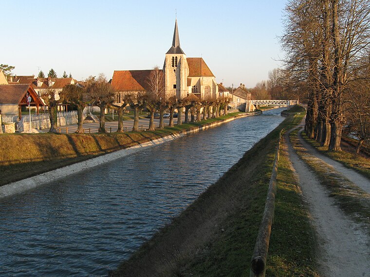
Photo: Alvaro, CC BY-SA 3.0.
Montbouy is a commune in the Loiret department in north-central France. Montbouy is situated 4 km northwest of Prés du Moulin de la Fosse.
Rogny-les-Sept-Écluses
Village

Photo: MOSSOT, CC BY-SA 4.0.
Rogny-les-Sept-Écluses is a commune in the Yonne department in Bourgogne-Franche-Comté in north-central France. The name of the commune comes from its impressive seven locks on Briare Canal. Rogny-les-Sept-Écluses is situated 10 km south of Prés du Moulin de la Fosse.
Prés du Moulin de la Fosse
- Type: Hamlet
- Category: locality
- Location: Châtillon-Coligny, Arrondissement of Montargis, Loiret, Centre-Val de Loire, France, Europe
- View on OpenStreetMap
Latitude
47.82752° or 47° 49′ 39″ northLongitude
2.84211° or 2° 50′ 32″ eastOpen location code
8FV4RRHR+2ROpenStreetMap ID
node 6080468887OpenStreetMap feature
place=hamlet
This page is based on OpenStreetMap, Wikidata, and Wikimedia Commons.
We’d love your help improving our open data sources. Thank you for contributing.
Satellite Map
Discover Prés du Moulin de la Fosse from above in high-definition satellite imagery.
Localities in the Area
Explore places such as Prés de la Fosse and Saint-Lazare.
Notable Places Nearby
Highlights include Stade Henri Lever and CPAM du Loiret.
Centre-Val de Loire: Must-Visit Destinations
Delve into Orléans, Tours, Chartres, and Bourges.
Curious Hamlets to Discover
Uncover intriguing hamlets from every corner of the globe.
About Mapcarta. Data © OpenStreetMap contributors and available under the Open Database License". Text is available under the CC BY-SA 4.0 license, except for photos, directions, and the map. Photo: PMRMaeyaert, CC BY-SA 3.0.