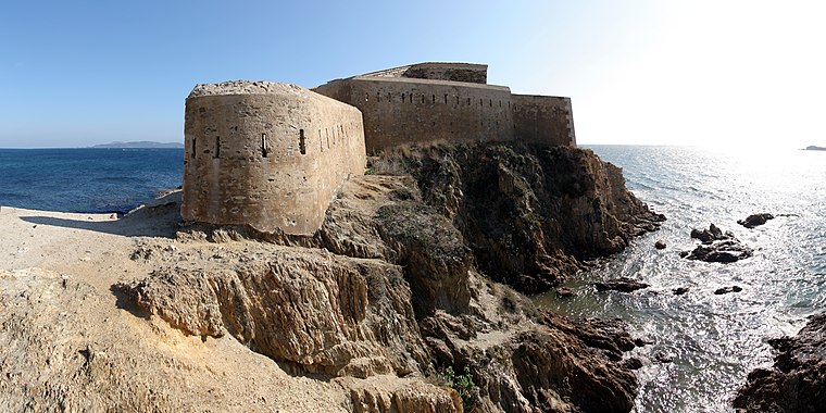
Cap Rabarassara
Cap Rabarassara is a cape in Var, Provence-Alpes-Côte d’Azur.| Tap on a place to explore it |
Places of Interest
Highlights include La Tour Fondue, Hyères and Église St Pierre (Hyères).
Église St Pierre (Hyères)
Church

Photo: Hyerestourisme, CC BY-SA 3.0.
Église St Pierre (Hyères) is a church.
Olbia de Provence
Archaeological site

Photo: Hyerestourisme, CC BY-SA 3.0.
Olbia de Provence is an archaeological site.
Places in the Area
Nearby places include Hyères and La Capte.
Hyères

Photo: ComputerHotline, CC BY 3.0.
Hyères, Provençal Occitan: Ieras in classical norm, or Iero in Mistralian norm) is a commune in the Var department in the Provence-Alpes-Côte d'Azur region in southeastern France.

Cap Rabarassara
- Type: Cape
- Category: landform
- Location: Var, Provence-Alpes-Côte d’Azur, France, Europe
- View on OpenStreetMap
Latitude
43.0304° or 43° 1′ 50″ northLongitude
6.1073° or 6° 6′ 26″ eastOpen location code
8FM824J4+5WOpenStreetMap ID
node 6106243911OpenStreetMap feature
natural=cape
This page is based on OpenStreetMap, Wikidata, and Wikimedia Commons.
We’d love your help improving our open data sources. Thank you for contributing.
Satellite Map
Discover Cap Rabarassara from above in high-definition satellite imagery.
In Other Languages
“Cap Rabarassara” goes by many names.
- Occitan (post 1500): “Cap Rabarassara”
Localities in the Area
Explore places such as Le Radar and La Madrague.
Notable Places Nearby
Highlights include Plage de l’Arboussière and Ecueils de Nidan.
Var: Must-Visit Destinations
Delve into Toulon, Saint-Tropez, Hyères, and Fréjus.
Curious Capes to Discover
Uncover intriguing capes from every corner of the globe.
About Mapcarta. Data © OpenStreetMap contributors and available under the Open Database License". Text is available under the CC BY-SA 4.0 license, except for photos, directions, and the map. Photo: Tobi 87, CC BY-SA 3.0.