Jakobuskreuz
Jakobuskreuz is a wayside cross in Kainach bei Voitsberg, Voitsberg District, Styria. Jakobuskreuz is situated nearby to the peak Hochkogel, as well as near Schrapfberg.| Tap on a place to explore it |
Places of Interest Nearby
Highlights include Hochkogel and Alt-Kainach Castle.

Alt-Kainach Castle
Castle

Photo: Christian Pirkl, CC BY-SA 3.0 at.
Alt-Kainach Castle is situated 2 km southwest of Jakobuskreuz.
St. Barbarakirche
Church
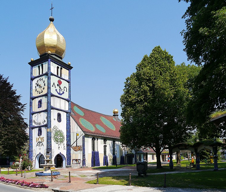
Photo: Zairon, CC BY-SA 3.0.
St. Barbarakirche is a church, which is situated 3½ km south of Jakobuskreuz.
Places in the Area
Nearby places include Piberegg and Kohlschwarz.
Piberegg
Village
Piberegg is a former municipality in the district of Voitsberg in the Austrian state of Styria. Since the 2015 Styria municipal structural reform, it is part of the municipality Bärnbach.
Kohlschwarz
Hamlet
Kohlschwarz is a former municipality in the district of Voitsberg in the Austrian state of Styria. Since the 2015 Styria municipal structural reform, it is part of the municipality Kainach bei Voitsberg. Kohlschwarz is situated 2½ km north of Jakobuskreuz.
Södingberg
Village
Södingberg is a former municipality in the district of Voitsberg in the Austrian state of Styria. Since the 2015 Styria municipal structural reform, it is part of the municipality Geistthal-Södingberg. Södingberg is situated 3 km east of Jakobuskreuz.
Jakobuskreuz
- Type: Wayside cross
- Denomination: Catholic
- Category: historic site
- Location: Kainach bei Voitsberg, Voitsberg District, Styria, Austria, Central Europe, Europe
- View on OpenStreetMap
Latitude
47.10143° or 47° 6′ 5″ northLongitude
15.13721° or 15° 8′ 14″ eastInception
2012Open location code
8FVQ442P+HVOpenStreetMap ID
node 6110362294OpenStreetMap feature
historic=wayside_crossOpenStreetMap attribute
denomination=catholic
This page is based on OpenStreetMap, Wikidata, and Wikimedia Commons.
We’d love your help improving our open data sources. Thank you for contributing.
Satellite Map
Discover Jakobuskreuz from above in high-definition satellite imagery.
Places with the Same Name
Discover other places named “Jakobuskreuz”.
Notable Places Nearby
Highlights include Schrapfberg and Feuerwehr Afling.
Nearby Places
Explore places such as ehem. GH Wiedner and Weingartberg.
Styria: Must-Visit Destinations
Delve into Graz, Leoben, Bruck an der Mur, and Kapfenberg.
Curious Wayside Crosses to Discover
Uncover intriguing wayside crosses from every corner of the globe.
About Mapcarta. Data © OpenStreetMap contributors and available under the Open Database License". Text is available under the CC BY-SA 4.0 license, except for photos, directions, and the map. Photo: Kmarka, CC BY-SA 3.0.