Frühberatungsstelle Mitte
Frühberatungsstelle Mitte is a social service facility in Bremen, Germany. Frühberatungsstelle Mitte is situated nearby to La Milonguita Tradicional, as well as near the sports venue Pa Kua Studio.| Tap on a place to explore it |
Places of Interest Nearby
Highlights include Roland and Weserburg.
Roland

Photo: Godewind, CC BY-SA 2.0 de.
The Bremen Roland is a statue of Roland, erected in 1404. It stands in the market square of Bremen, Germany, facing the cathedral, and shows Roland, paladin of the first Holy Roman Emperor Charlemagne and hero of the Battle of Roncevaux Pass. Roland is situated 770 metres southeast of Frühberatungsstelle Mitte.
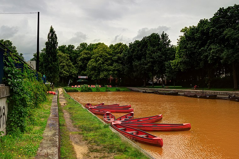
Weserburg
Museum

Photo: Godewind, CC BY-SA 3.0 de.
The Weserburg is a modern art museum in Bremen, Germany. Opened in 1991, it is located on the Teerhof peninsula next to the River Weser in an old factory building which was almost completely destroyed in the Second World War. Weserburg is situated 390 metres south of Frühberatungsstelle Mitte.
St. Stephani
Church

Photo: Godewind, CC BY-SA 2.0 de.
St. Stephani is a church, which is situated 270 metres west of Frühberatungsstelle Mitte.
Places in the Area
Nearby places include Mitte and Neustadt.


Frühberatungsstelle Mitte
- Type: Social service facility
- Wheelchair access: yes
- Location: Bremen, City state Bremen, Germany, Central Europe, Europe
- View on OpenStreetMap
Latitude
53.08001° or 53° 4′ 48″ northLongitude
8.79802° or 8° 47′ 53″ eastOperator
Deutsches Rotes Kreuz Kreisverband Bremen e.V.Open location code
9F5C3QJX+26OpenStreetMap ID
node 612129201OpenStreetMap feature
amenity=social_facilityOpenStreetMap attribute
wheelchair=yes
This page is based on OpenStreetMap, Wikidata, and Wikimedia Commons.
We’d love your help improving our open data sources. Thank you for contributing.
Satellite Map
Discover Frühberatungsstelle Mitte from above in high-definition satellite imagery.
Notable Places Nearby
Highlights include La Milonguita Tradicional and Pa Kua Studio.
Nearby Places
Explore places such as Allianz and Harry van der Veen.
Germany: Must-Visit Destinations
Delve into Berlin, Munich, Hamburg, and Frankfurt.
Curious Social Service Facilities to Discover
Uncover intriguing social service facilities from every corner of the globe.
About Mapcarta. Data © OpenStreetMap contributors and available under the Open Database License". Text is available under the CC BY-SA 4.0 license, except for photos, directions, and the map. Photo: Dschwen, CC BY-SA 3.0.