Forn Pastisseria Violeta
Forn Pastisseria Violeta is a bakery in Xirivella, Valencia, Valencian Community. Forn Pastisseria Violeta is situated nearby to the pitch Skate Park Xirivella, as well as near Plaça del Doctor Gerardo Garcés.| Tap on a place to explore it |
Places of Interest Nearby
Highlights include Church or Our Lady of Good Health and Xirivella-Alqueries railway station.
Church or Our Lady of Good Health
Church

Photo: Qoan, CC BY-SA 3.0.
Church or Our Lady of Good Health is situated 340 metres north of Forn Pastisseria Violeta.
Xirivella-Alqueries railway station
Railway station

Photo: Coentor, CC BY-SA 3.0.
Xirivella-Alqueries railway station is situated 500 metres west of Forn Pastisseria Violeta.
Chapel of Our Lady of Good Health
Church

Photo: Qoan, CC BY-SA 3.0.
Chapel of Our Lady of Good Health is a church, which is situated 320 metres north of Forn Pastisseria Violeta.
Places in the Area
Nearby places include Xirivella and La Luz (Valencia).
Xirivella
Town

Photo: Qoan, CC BY-SA 3.0.
Xirivella is a municipality in the Valencian Community, Spain. It borders the city of Valencia, Alaquàs, Picanya and Mislata. The municipality is divided by the V-30 motorway and the river Turia, with the La Luz district on the eastern part of the river.

Mislata
Town
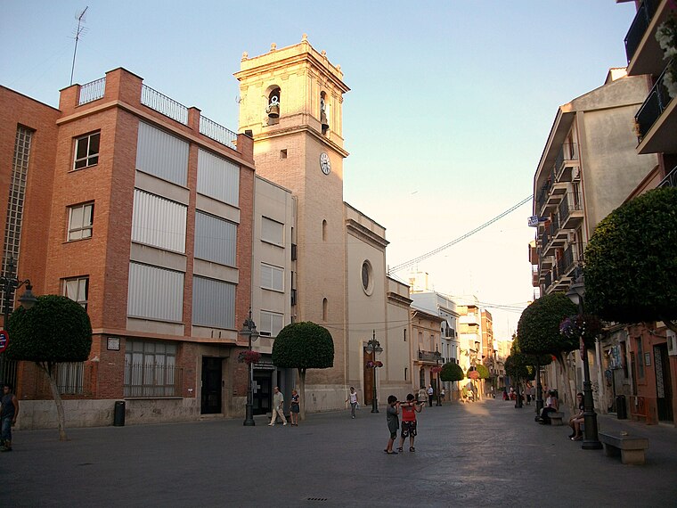
Photo: Joanbanjo, CC BY-SA 3.0.
Mislata is a city in the Valencian Community, Spain. It has borders with the city of Valencia and Quart de Poblet in the west and Xirivella in the south.
Forn Pastisseria Violeta
- Type: Bakery
- Categories: shop and food
- Location: Xirivella, Valencia, Valencian Community, Eastern Spain, Spain, Iberia, Europe
- View on OpenStreetMap
Latitude
39.46288° or 39° 27′ 46″ northLongitude
-0.42633° or 0° 25′ 35″ westOpen location code
8CFXFH7F+5FOpenStreetMap ID
node 6136000025OpenStreetMap feature
shop=bakery
This page is based on OpenStreetMap, Wikidata, and Wikimedia Commons.
We’d love your help improving our open data sources. Thank you for contributing.
Satellite Map
Discover Forn Pastisseria Violeta from above in high-definition satellite imagery.
In Other Languages
From Catalan to Spanish—“Forn Pastisseria Violeta” goes by many names.
- Catalan: “Forn Pastisseria Violeta”
- Spanish: “Horno Pastelería Violeta”
Notable Places Nearby
Highlights include Skate Park Xirivella and Plaça del Doctor Gerardo Garcés.
Nearby Places
Explore places such as Taller Ponce y Javi and Bar L’Alqueria.
Valencia: Must-Visit Destinations
Delve into Valencia, Sagunto, Gandía, and Xàtiva.
Curious Bakeries to Discover
Uncover intriguing bakeries from every corner of the globe.
About Mapcarta. Data © OpenStreetMap contributors and available under the Open Database License". Text is available under the CC BY-SA 4.0 license, except for photos, directions, and the map. Photo: andruby, CC BY 2.0.