Los Industriales
Los Industriales is a convenience store in Arica, Arica y Parinacota Region. Los Industriales is situated nearby to the military installation Regimiento Reforzado N6 ‘Matucana’, as well as near the church Capilla San Gabriel.| Tap on a place to explore it |
Places of Interest Nearby
Highlights include Estadio Carlos Dittborn and Playa Chinchorro.
Estadio Carlos Dittborn
Stadium

Photo: Wikimedia, CC BY 3.0 cl.
The Carlos Dittborn Stadium is a multi-purpose stadium in Arica, Chile. Primarily used for football matches, it was constructed in 1962 specifically for the purpose of hosting games during the 1962 World Cup, which took place in Chile. Estadio Carlos Dittborn is situated 3½ km south of Los Industriales.
Playa Chinchorro
Beach

Photo: Sayayinz, CC BY-SA 3.0.
Playa Chinchorro is a beach, which is situated 2 km west of Los Industriales.
Casa Yanulaque
Monument
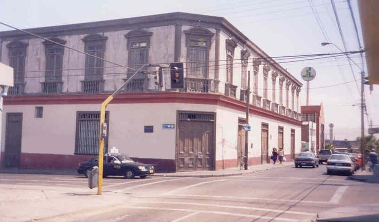
Photo: Wikimedia, CC BY-SA 2.5.
The Casa Yanulaque is a historical building located in the Chilean city of Arica, in the corner of 18 de Septiembre and General Lagos streets. It is owned by the Peruvian State as part of the 1929 Treaty of Lima, and currently houses its consulate-general. Casa Yanulaque is situated 4 km southwest of Los Industriales.
Places in the Area
Nearby places include Villa Frontera.
Villa Frontera
Village
Villa Frontera, also identified as Chacalluta, is a village within the Arica Province of the Arica and Parinacota Region, Chile. Villa Frontera is situated 7 km northwest of Los Industriales.
Los Industriales
- Type: Convenience store
- Categories: shop and food
- Location: Arica, Arica Province, Arica y Parinacota Region, Northern Chile, Chile, South America
- View on OpenStreetMap
Latitude
-18.45749° or 18° 27′ 27″ southLongitude
-70.28783° or 70° 17′ 16″ westOpen location code
57HFGPV6+2VOpenStreetMap ID
node 6143653728OpenStreetMap feature
shop=convenience
This page is based on OpenStreetMap, Wikidata, and Wikimedia Commons.
We’d love your help improving our open data sources. Thank you for contributing.
Satellite Map
Discover Los Industriales from above in high-definition satellite imagery.
Notable Places Nearby
Highlights include Villa Los Industriales and Regimiento Reforzado N6 ‘Matucana’.
Nearby Places
Explore places such as Alejandro Azolas / El Cobre and Agropesca.
Northern Chile: Must-Visit Destinations
Delve into Antofagasta, La Serena, Iquique, and San Pedro de Atacama.
Curious Convenience Stores to Discover
Uncover intriguing convenience stores from every corner of the globe.
About Mapcarta. Data © OpenStreetMap contributors and available under the Open Database License". Text is available under the CC BY-SA 4.0 license, except for photos, directions, and the map. Photo: Till.niermann, CC BY-SA 3.0.