Rosy’s Welt
Rosy’s Welt is a fast food restaurant in Munich, Upper Bavaria, Bavaria. Rosy’s Welt is situated nearby to the hospital Arabella Klinik, as well as near the post office Postagentur.| Tap on a place to explore it |
Places of Interest Nearby
Highlights include Hypo-Haus and Richard-Strauss-Straße station.
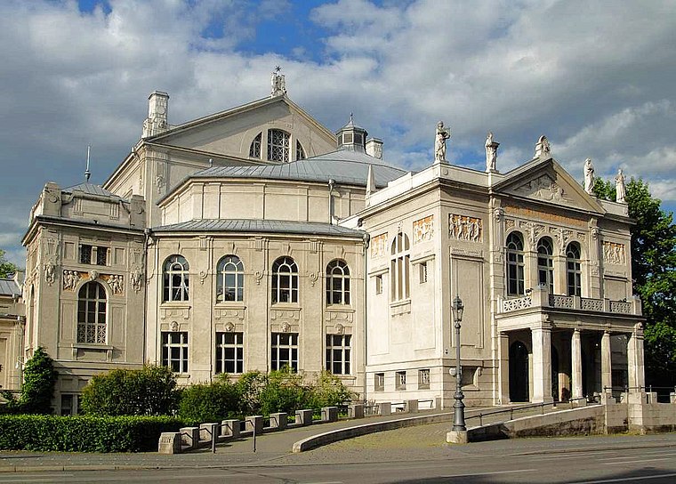
Hypo-Haus

Photo: Florian Adler, CC BY-SA 3.0.
The listed HVB Tower or formerly Hypo-house or Hypo high-rise building is an administrative building of the HypoVereinsbank in Munich. Hypo-Haus is situated 160 metres southwest of Rosy’s Welt.
Richard-Strauss-Straße station
Metro station

Photo: Wikimedia, CC BY-SA 3.0.
Richard-Strauss-Straße is a Munich U-Bahn station on the U4 line in the borough of Bogenhausen. It is located on the eastern fringe of Alt-Bogenhausen, the traditional core district. Richard-Strauss-Straße station is situated 320 metres southwest of Rosy’s Welt.
Englischer Garten
Park

Photo: Carsten Steger, CC BY-SA 4.0.
The Englischer Garten is a large public park in the centre of Munich, Bavaria, stretching from the city centre to the northeastern city limits. The creation began in 1789, supervised by Sir Benjamin Thompson, later Count Rumford, for Prince Charles Theodore, Elector of Bavaria.
Places in the Area
Nearby places include Bogenhausen and Parkstadt Bogenhausen.


Rosy’s Welt
- Type: Fast food restaurant
- Categories: food and restaurant
- Location: Munich, Upper Bavaria, Bavaria, Germany, Central Europe, Europe
- View on OpenStreetMap
Latitude
48.15092° or 48° 9′ 3″ northLongitude
11.61858° or 11° 37′ 7″ eastOpen location code
8FWH5J29+9COpenStreetMap ID
node 615651646OpenStreetMap feature
amenity=fast_food
This page is based on OpenStreetMap, Wikidata, and Wikimedia Commons.
We’d love your help improving our open data sources. Thank you for contributing.
Satellite Map
Discover Rosy’s Welt from above in high-definition satellite imagery.
Notable Places Nearby
Highlights include Arabella Klinik and Postagentur.
Nearby Places
Explore places such as Lipödem Zentrum München and Änderungsschneiderei Arabella.
Munich: Must-Visit Destinations
Delve into North Munich, Altstadt, Haidhausen, and Ludwigsvorstadt-Isarvorstadt.
Curious Fast Food Restaurants to Discover
Uncover intriguing fast food restaurants from every corner of the globe.
About Mapcarta. Data © OpenStreetMap contributors and available under the Open Database License". Text is available under the CC BY-SA 4.0 license, except for photos, directions, and the map. Photo: Heav84, CC BY-SA 3.0.