Tonlager
Tonlager is in Niedenstein, Schwalm-Eder-Kreis, Hesse. Tonlager is situated nearby to the peak Altenburg, as well as near the spring Forstgartenborn.| Tap on a place to explore it |
Places of Interest Nearby
Highlights include Altenburg and Falkenstein Castle.
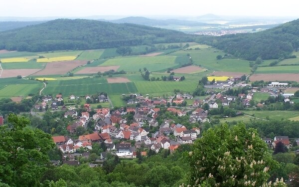
Altenburg
Archaeological site

Photo: Armin Schönewolf, Public domain.
The Altenburg is a hill in the county of Schwalm-Eder-Kreis, Hesse, Germany. On its flat hilltop are the remains of a fairly large, fortified settlement from the Bronze Age and Iron Age. Altenburg is situated 290 metres southeast of Tonlager.
Falkenstein Castle
Archaeological site

Photo: Armin Schönewolf, Public domain.
Falkenstein Castle near Bad Emstal is a castle in Hesse, Germany. Falkenstein Castle is situated 1 km northeast of Tonlager.
Places in the Area
Nearby places include Naumburg.
Naumburg
Town

Photo: Wikimedia, CC BY-SA 3.0.
Naumburg is a town in the district of Kassel, in Hesse, Germany. It is located 25 km southwest of Kassel on the German Timber-Frame Road. Naumburg is situated 9 km west of Tonlager.
Tonlager
- Type: Sign
- Categories: information and tourism
- Location: Niedenstein, Schwalm-Eder-Kreis, Kassel, Hesse, Germany, Central Europe, Europe
- View on OpenStreetMap
Latitude
51.24851° or 51° 14′ 55″ northLongitude
9.28821° or 9° 17′ 18″ eastOpen location code
9F3F67XQ+C7OpenStreetMap ID
node 6173247395OpenStreetMap feature
tourism=information
This page is based on OpenStreetMap, Wikidata, and Wikimedia Commons.
We’d love your help improving our open data sources. Thank you for contributing.
Satellite Map
Discover Tonlager from above in high-definition satellite imagery.
Places with the Same Name
Discover other places named “Tonlager”.
Notable Places Nearby
Highlights include Altenburg and Forstgartenborn.
Nearby Places
Explore places such as Geologie and Wälle und Tore.
Hesse: Must-Visit Destinations
Delve into Frankfurt, Wiesbaden, Darmstadt, and Kassel.
Curious Places to Discover
Uncover intriguing places from every corner of the globe.
About Mapcarta. Data © OpenStreetMap contributors and available under the Open Database License". Text is available under the CC BY-SA 4.0 license, except for photos, directions, and the map. Photo: Pedelecs, CC BY-SA 3.0.