Cumbres de Carrasco
Cumbres de Carrasco is an aerodrome in Canelones Department, Uruguay. Access is restricted and requires permission. Cumbres de Carrasco is situated nearby to the village Mirador de la Tahona, as well as near the hamlet El Monte.| Tap on a place to explore it |
Places in the Area
Nearby places include El Pinar and Lomas de Solymar.
El Pinar
Suburb
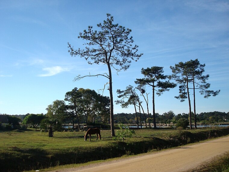
Photo: Hoverfish, CC BY-SA 3.0.
El Pinar is a seaside resort of the Canelones Department, Uruguay. In 1994, when Ciudad de la Costa took on the status of a city, El Pinar was incorporated in it.
Lomas de Solymar
Suburb

Photo: Santga, CC BY-SA 4.0.
Lomas de Solymar, which also contains the area Médanos de Solymar, is a residential neighbourhood and a resort of Ciudad de la Costa in Canelones, Uruguay.
Colinas de Solymar
Suburb

Photo: Hoverfish, CC BY-SA 3.0.
Colinas de Solymar is a small town and northern suburb of Ciudad de la Costa in the Canelones Department of southern Uruguay.
Cumbres de Carrasco
- Access is restricted and requires permission.
- Type: Aerodrome
- Category: transportation
- Location: Canelones Department, Uruguay, South America
- View on OpenStreetMap
Latitude
-34.7694° or 34° 46′ 10″ southLongitude
-55.9507° or 55° 57′ 2″ westOpen location code
48Q662JX+6POpenStreetMap ID
node 6175608783OpenStreetMap feature
aeroway=aerodrome
This page is based on OpenStreetMap, Wikidata, and Wikimedia Commons.
We’d love your help improving our open data sources. Thank you for contributing.
Satellite Map
Discover Cumbres de Carrasco from above in high-definition satellite imagery.
Localities in the Area
Explore places such as Cumbres de Carrasco and Mirador de la Tahona.
Notable Places Nearby
Highlights include Rincón de Carrasco Baby Fútbol and Complejo Los Teros.
Uruguay: Must-Visit Destinations
Delve into Montevideo, Salto, Colonia, and Punta del Este.
Curious Aerodromes to Discover
Uncover intriguing aerodromes from every corner of the globe.
About Mapcarta. Data © OpenStreetMap contributors and available under the Open Database License". Text is available under the CC BY-SA 4.0 license, except for photos, directions, and the map. Photo: Elemaki, CC BY 3.0.