La Butte de Cado
La Butte de Cado is a hamlet in Saint-Nicolas-de-Redon, Arrondissement of Châteaubriant-Ancenis, Pays de la Loire. La Butte de Cado is situated nearby to the hamlet La Bourdinais, as well as near La Lande.| Tap on a place to explore it |
Places of Interest
Highlights include Château de Pordor and Redon station.
Château de Pordor
Castle

Photo: EdouardHue, CC BY-SA 3.0.
Château de Pordor is a castle, which is situated 2½ km east of La Butte de Cado.
Redon station
Railway station
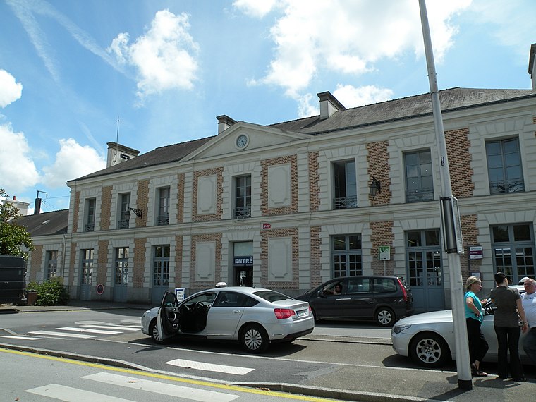
Photo: Pymouss44, CC BY-SA 3.0.
Redon is a railway station serving the town of Redon, Ille-et-Vilaine department, western France. The station is situated on the Rennes–Redon railway and the Savenay–Landerneau railway. Redon station is situated 3½ km west of La Butte de Cado.

Places in the Area
Nearby places include Saint-Nicolas-de-Redon and Redon.
Saint-Nicolas-de-Redon
Village

Photo: Yves LC, CC BY-SA 3.0.
Saint-Nicolas-de-Redon is a commune in the Loire-Atlantique department in western France. The surrounding communities are Avessac and Fégréac in Loire-Atlantique, Rieux and Saint-Jean-la-Poterie in Morbihan, Redon and Sainte-Marie in Ille-et-Vilaine. Saint-Nicolas-de-Redon is situated 2½ km southwest of La Butte de Cado.
Redon
Town

Photo: Fab5669, CC BY-SA 4.0.
Redon is a commune in the Ille-et-Vilaine department in Brittany in northwestern France. It is a sub-prefecture of the department. Redon is situated 3½ km west of La Butte de Cado.
Avessac
Village

Photo: DSPUBB, Public domain.
Avessac is a commune in the Loire-Atlantique department in western France. Avessac is situated 4 km east of La Butte de Cado.
La Butte de Cado
- Type: Hamlet
- Category: locality
- Location: Saint-Nicolas-de-Redon, Arrondissement of Châteaubriant-Ancenis, Loire-Atlantique, Pays de la Loire, France, Europe
- View on OpenStreetMap
Latitude
47.65565° or 47° 39′ 20″ northLongitude
-2.03991° or 2° 2′ 24″ westOpen location code
8CVVMX46+72OpenStreetMap ID
node 6177384063OpenStreetMap feature
place=hamlet
This page is based on OpenStreetMap, Wikidata, and Wikimedia Commons.
We’d love your help improving our open data sources. Thank you for contributing.
Satellite Map
Discover La Butte de Cado from above in high-definition satellite imagery.
In Other Languages
“La Butte de Cado” goes by many names.
- Breton: “Roz Kadoù”
Localities in the Area
Explore places such as Cado and La Bourdinais.
Notable Places Nearby
Highlights include Chapelle Saint-Joseph de la Provotaie and Bois de la Belle Anguille.
Pays de la Loire: Must-Visit Destinations
Delve into Montsoreau, Nantes, Angers, and Le Mans.
Curious Hamlets to Discover
Uncover intriguing hamlets from every corner of the globe.
About Mapcarta. Data © OpenStreetMap contributors and available under the Open Database License". Text is available under the CC BY-SA 4.0 license, except for photos, directions, and the map. Photo: DakoR, CC BY-SA 3.0.