Volkshochschule Göppingen
Volkshochschule Göppingen is a college in Göppingen, Stuttgart, Baden-Württemberg which is located on Mörikestraße. Volkshochschule Göppingen is situated nearby to the fire station Freiwillige Feuerwehr Göppingen - LZ1-3 Innenstadt, as well as near the community center Haus der Familie Villa Butz.| Tap on a place to explore it |
- Type: College
- Address: Mörikestraße 16, Göppingen, 73033
- Wheelchair access: limited
Places of Interest Nearby
Highlights include Oberhofenkirche and Göppingen City Library.
Oberhofenkirche
Church

Photo: Frank C. Müller, CC BY-SA 4.0.
Oberhofenkirche is a church, which is situated 200 metres north of Volkshochschule Göppingen.
Göppingen City Library
Library

Photo: Wikimedia, Public domain.
Göppingen City Library is situated 270 metres west of Volkshochschule Göppingen.
Göppingen station
Railway station

Photo: Wikimedia, CC BY-SA 4.0.
Göppingen station is a station in the town of Göppingen in the German state of Baden-Württemberg. It is a transit station and is situated km 42.1 from Stuttgart on the Fils Valley Railway, which was completed in 1850 from Stuttgart to Ulm. Göppingen station is situated 620 metres southwest of Volkshochschule Göppingen.
Places in the Area
Nearby places include Jebenhausen and Eislingen.
Jebenhausen
Village
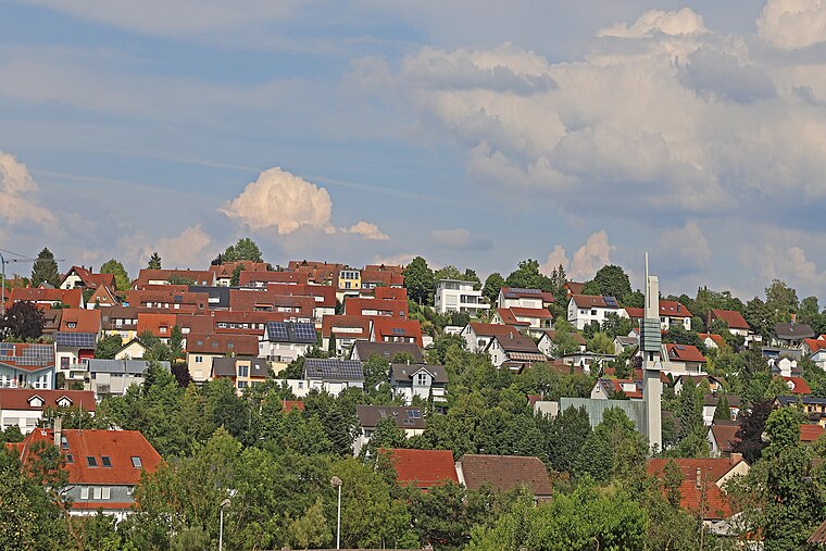
Photo: W. Bulach, CC BY-SA 4.0.
Jebenhausen is a village, which is situated 3 km southwest of Volkshochschule Göppingen.
Eislingen
Town

Photo: Taxiarchos228, CC BY-SA 3.0.
Eislingen is a town in the district of Göppingen in Baden-Württemberg, Germany. Eislingen is situated 3½ km east of Volkshochschule Göppingen.
Birenbach
Village

Photo: WoodyColorado, CC BY-SA 3.0.
Birenbach is a municipality in the district of Göppingen in Baden-Württemberg, Germany. Birenbach is situated 5 km north of Volkshochschule Göppingen.
Volkshochschule Göppingen
- Category: education
- Location: Göppingen, Stuttgart, Baden-Württemberg, Germany, Central Europe, Europe
- View on OpenStreetMap
Latitude
48.70391° or 48° 42′ 14″ northLongitude
9.65875° or 9° 39′ 32″ eastOpen location code
8FWFPM35+HGOpenStreetMap ID
node 618494092OpenStreetMap feature
amenity=collegeOpenStreetMap attribute
wheelchair=limited
This page is based on OpenStreetMap, Wikidata, and Wikimedia Commons.
We’d love your help improving our open data sources. Thank you for contributing.
Satellite Map
Discover Volkshochschule Göppingen from above in high-definition satellite imagery.
Notable Places Nearby
Highlights include Freiwillige Feuerwehr Göppingen - LZ1-3 Innenstadt and Haus der Familie Villa Butz.
Nearby Places
Explore places such as Göppingen, Feuerwache and Feuerwache.
Baden-Württemberg: Must-Visit Destinations
Delve into Stuttgart, Heidelberg, Karlsruhe, and Mannheim.
Curious Places to Discover
Uncover intriguing places from every corner of the globe.
About Mapcarta. Data © OpenStreetMap contributors and available under the Open Database License". Text is available under the CC BY-SA 4.0 license, except for photos, directions, and the map. Photo: Traveler100, CC BY-SA 3.0.