Fonds Raymond
Fonds Raymond is a bay in Sud-Est, Haiti.| Tap on a place to explore it |
Places of Interest
Highlights include Jacmel Airport.
Jacmel Airport
Aerodrome
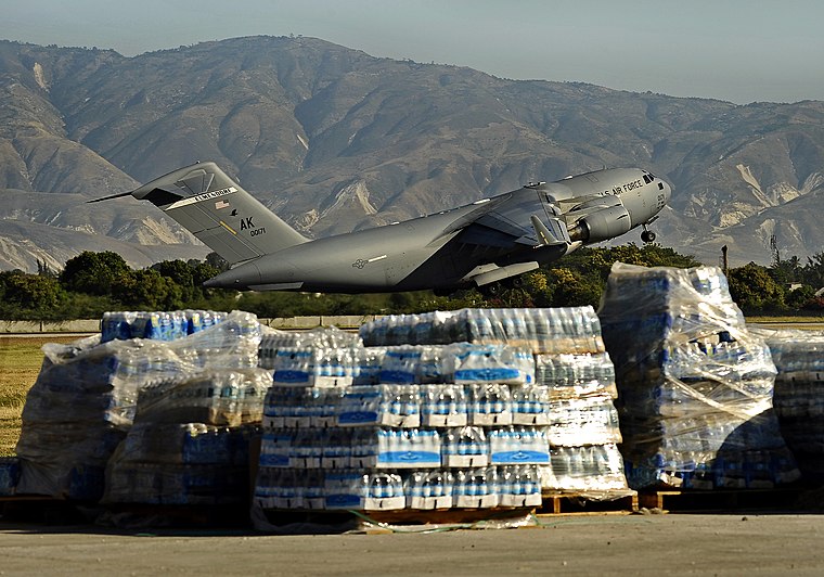
Photo: Wikimedia, Public domain.
Jacmel Airport was the sixth busiest airport in Haiti by passenger volume before the 2010 Haitian earthquake, near the city of Jacmel, on Haiti's south coast.
Places in the Area
Nearby places include Jacmel and Cayes-Jacmel.
Jacmel

Photo: Doron, CC BY-SA 3.0.
Jacmel is a commune in southern Haiti previously founded by the Spanish in 1504 before the relocation of dominicans to the eastern side of the island after the Devastation of Osorio and repopulated by the French in 1698.
Cayes-Jacmel
Town

Photo: Bagaymale11, CC BY-SA 4.0.
Cayes-Jacmel is a commune in the Jacmel Arrondissement, in the Sud-Est department of Haiti. It has 40,348 inhabitants. Cayes-Jacmel is down the road from Cyvadier and home to a lovely public beach and has a remarkable farmers market.
Fonds Raymond
- Type: Bay
- Category: body of water
- Location: Sud-Est, Haiti, Caribbean, North America
- View on OpenStreetMap
Latitude
18.2201° or 18° 13′ 12″ northLongitude
-72.4883° or 72° 29′ 18″ westOpen location code
77C96GC6+2MOpenStreetMap ID
node 619113068OpenStreetMap feature
natural=bay
This page is based on OpenStreetMap, Wikidata, and Wikimedia Commons.
We’d love your help improving our open data sources. Thank you for contributing.
Satellite Map
Discover Fonds Raymond from above in high-definition satellite imagery.
Places with the Same Name
Discover other places named “Fonds Raymond”.
Localities in the Area
Explore places such as Meyer and Lauture.
Notable Places Nearby
Highlights include Audio Institute and Cine Services / Graduate Division.
Haiti: Must-Visit Destinations
Delve into Port-au-Prince, Cap-Haïtien, Tortuga, and Jacmel.
Curious Bays to Discover
Uncover intriguing bays from every corner of the globe.
About Mapcarta. Data © OpenStreetMap contributors and available under the Open Database License". Text is available under the CC BY-SA 4.0 license, except for photos, directions, and the map. Photo: Wikimedia, CC0.