Izvorele
Izvorele is a picnic site in Comuna Orăştioara de Sus, Hunedoara County. Izvorele is situated nearby to the peak Prisaca, as well as near the village Grădiștea de Munte.| Tap on a place to explore it |
Places in the Area
Nearby places include Grădiștea de Munte and Costești.
Grădiștea de Munte
Village
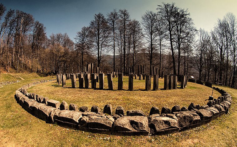
Photo: Grigore Roibu, CC BY-SA 3.0 ro.
Grădiștea de Munte is a village, which is situated 6 km southwest of Izvorele.
Costești
Village

Photo: Oroles, Public domain.
Costești is a village, which is situated 7 km west of Izvorele.
Ludeștii de Jos
Village

Photo: Nicu farcas, CC BY-SA 4.0.
Ludeștii de Jos is a village, which is situated 8 km northwest of Izvorele.
Izvorele
- Type: Picnic site
- Category: tourism
- Location: Comuna Orăştioara de Sus, Hunedoara County, Transylvania, Romania, Balkans, Europe
- View on OpenStreetMap
Latitude
45.68074° or 45° 40′ 51″ northLongitude
23.25319° or 23° 15′ 12″ eastOpen location code
8GQ5M7J3+77OpenStreetMap ID
node 6193040529OpenStreetMap feature
tourism=picnic_site
This page is based on OpenStreetMap, Wikidata, and Wikimedia Commons.
We’d love your help improving our open data sources. Thank you for contributing.
Satellite Map
Discover Izvorele from above in high-definition satellite imagery.
Notable Places Nearby
Highlights include Mănăstire Valea Rea and Prisaca.
Nearby Places
Explore places such as Școala Primară Grădiște and La Pătru.
Hunedoara County: Must-Visit Destinations
Delve into Hunedoara, Deva, Petroșani, and Lupeni.
Curious Picnic Sites to Discover
Uncover intriguing picnic sites from every corner of the globe.
About Mapcarta. Data © OpenStreetMap contributors and available under the Open Database License". Text is available under the CC BY-SA 4.0 license, except for photos, directions, and the map. Photo: Calin.jorza, CC BY-SA 3.0 ro.