Kuskuburu
Kuskuburu is a peak in Galdakao, Biscay, Basque Country and has an elevation of 426 metres. Kuskuburu is situated nearby to the locality Zapateribaso, as well as near Mikelbaso.| Tap on a place to explore it |
Places of Interest
Highlights include Ganguren and Lezama town hall.


Places in the Area
Nearby places include Basauri and Etxebarri.
Basauri
Town

Photo: Alan, CC BY-SA 3.0.
Basauri is a major municipality of Biscay, in the Basque Country, an Autonomous Community in northern Spain. The town is a part of the Greater Bilbao conurbation, being only a few kilometers south of Bilbao.
Etxebarri
Town
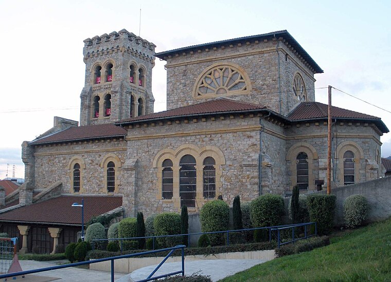
Photo: Zarateman, CC BY-SA 4.0.
Etxebarri, Doneztebeko Elizatea is a town and municipality located in the province of Biscay, in the Autonomous Basque Community, in the North of Spain.
Zamudio
Village

Photo: Wikimedia, Public domain.
Zamudio is a town and municipality located in the province of Biscay, in the Autonomous Community of Basque Country, northern Spain. Lycée Français de Bilbao, the French international school of the Bilbao metropolitan area, is in Zamudio.
Kuskuburu
- Type: Peak with an elevation of 426 metres
- Also known as: “Kukuzburu”
- Categories: mountain and landform
- Location: Galdakao, Biscay, Basque Country, Northern Spain, Spain, Iberia, Europe
- View on OpenStreetMap
Latitude
43.255° or 43° 15′ 18″ northLongitude
-2.8417° or 2° 50′ 30″ westElevation
426 metres (1,398 feet)Open location code
8CMV7535+X8OpenStreetMap ID
node 6223078947OpenStreetMap feature
natural=peakWikidata ID
Q12261693
This page is based on OpenStreetMap, Wikidata, and Wikimedia Commons.
We’d love your help improving our open data sources. Thank you for contributing.
Satellite Map
Discover Kuskuburu from above in high-definition satellite imagery.
In Other Languages
From Basque to Irish—“Kuskuburu” goes by many names.
Localities in the Area
Explore places such as Zapateribaso and Mikelbaso.
Notable Places Nearby
Highlights include Azuela and El Vivero.
Basque Country: Must-Visit Destinations
Delve into Bilbao, San Sebastián, Vitoria-Gasteiz, and Guernica.
Curious Peaks to Discover
Uncover intriguing peaks from every corner of the globe.
About Mapcarta. Data © OpenStreetMap contributors and available under the Open Database License". Text is available under the CC BY-SA 4.0 license, except for photos, directions, and the map. Photo: Josi, CC BY 4.0.