Mixtape for Dublin
Mixtape for Dublin is a work of art in Dublin, Leinster. Mixtape for Dublin is situated nearby to the government office Intreo, as well as near the pub Whelan’s.| Tap on a place to explore it |
Places of Interest Nearby
Highlights include Dublin Castle and Chester Beatty Library.
Dublin Castle
Dublin Castle is a major Irish government complex, conference centre, and tourist attraction. It is located off Dame Street in central Dublin. Originally a motte-and-bailey castle chosen for its position at the highest point of central Dublin, it was mostly rebuilt, from the late 17th century onward, as a Georgian palace. Dublin Castle is situated 570 metres north of Mixtape for Dublin.Chester Beatty Library
Museum

Photo: Aligatorek, CC BY-SA 3.0.
The Chester Beatty Library, now known as the Chester Beatty, is a museum and library in the grounds of Dublin Castle, Ireland. It was established in 1953 at 20 Shewsbury Road, Dublin 4, to house the collections of mining magnate, Sir Alfred Chester Beatty. Chester Beatty Library is situated 530 metres north of Mixtape for Dublin.
St. Patrick’s Cathedral
Church

Photo: Diliff, CC BY-SA 3.0.
Saint Patrick's Cathedral in Dublin, Ireland is the national cathedral of the Church of Ireland. Christ Church Cathedral, also a Church of Ireland cathedral in Dublin, is designated as the local cathedral of the Diocese of Dublin and Glendalough. St. Patrick’s Cathedral is situated 440 metres northwest of Mixtape for Dublin.
Places in the Area
Nearby places include Portobello and The Liberties.
Portobello
Suburb

Photo: Wikimedia, Public domain.
Portobello is an area of Dublin in Ireland, within the southern city centre and bounded to the south by the Grand Canal. It came into existence as a small suburb south of the city in the 18th century, centred on Richmond Street.
The Liberties
Suburb

Photo: Hohenloh, CC BY-SA 3.0.
The Liberties is an area in central Dublin, Ireland, located in the southwest of the inner city. Formed from various areas of special manorial jurisdiction, initially separate from the main city government, it is one of Dublin's most historic working class neighbourhoods.
Temple Bar
Quarter
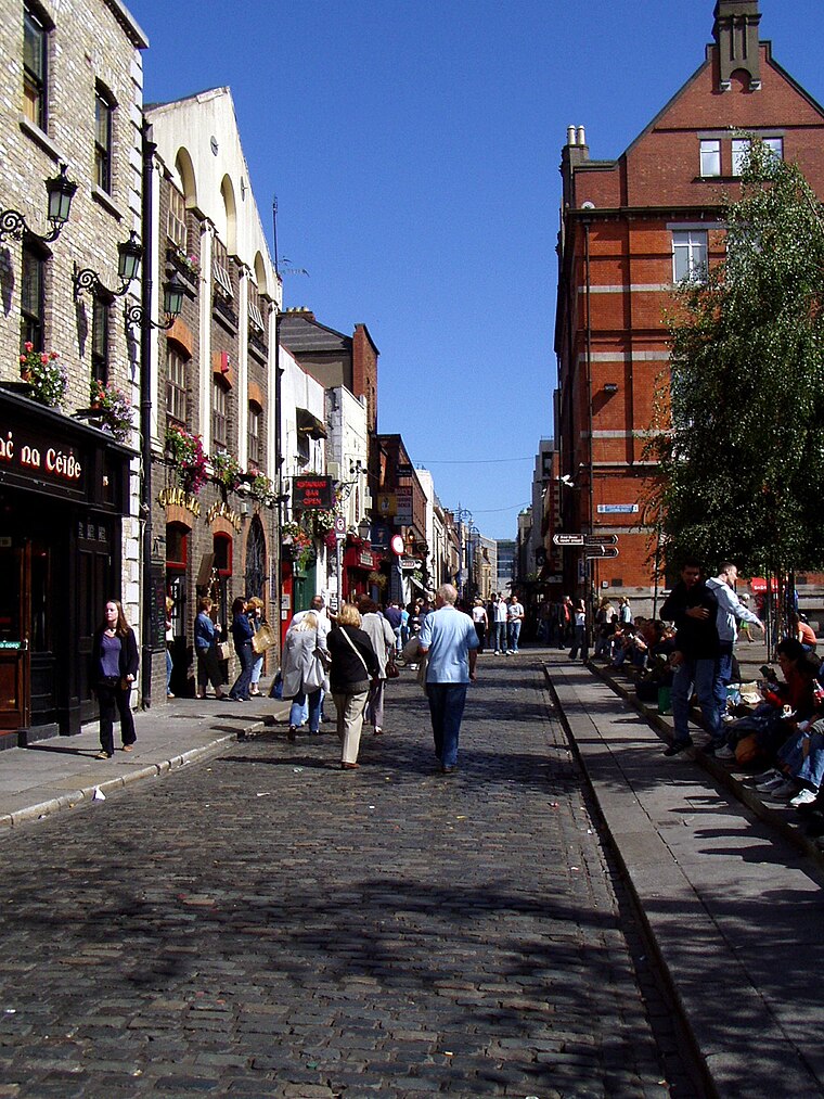
Photo: Wikimedia, Public domain.
Dublin is the capital city of Ireland. Its vibrancy, nightlife and tourist attractions are world renowned and it's the most popular entry point for international visitors to Ireland.
Mixtape for Dublin
- Type: Work of art
- Artwork_type: mural
- Category: tourism
- Location: Dublin, Leinster, Ireland, Britain and Ireland, Europe
- View on OpenStreetMap
Latitude
53.33753° or 53° 20′ 15″ northLongitude
-6.2658° or 6° 15′ 57″ westInception
2019Operator
Dublin CanvasOpen location code
9C5M8PQM+2MOpenStreetMap ID
node 6240821201OpenStreetMap feature
man_made=street_cabinetOpenStreetMap feature
tourism=artworkOpenStreetMap attribute
artwork_type=mural
This page is based on OpenStreetMap, Wikidata, and Wikimedia Commons.
We’d love your help improving our open data sources. Thank you for contributing.
Satellite Map
Discover Mixtape for Dublin from above in high-definition satellite imagery.
Notable Places Nearby
Highlights include Intreo and Whelan’s.
Nearby Places
Explore places such as Goose on the Loose and ____ Cabs.
Ireland: Must-Visit Destinations
Delve into Cork, Limerick, Galway, and Waterford.
Curious Work Of Arts to Discover
Uncover intriguing work of arts from every corner of the globe.
About Mapcarta. Data © OpenStreetMap contributors and available under the Open Database License". Text is available under the CC BY-SA 4.0 license, except for photos, directions, and the map. Photo: Wikimedia, CC0.