Libingen
Libingen is in Mosnang, Toggenburg, Canton of St. Gallen. Libingen is situated nearby to the peak Horn, as well as near Laubberg.| Tap on a place to explore it |
Places of Interest Nearby
Highlights include Schnebelhorn and Schlosshöchi.
Schnebelhorn
Peak

Photo: Pluessline386, CC BY-SA 3.0.
The Schnebelhorn is a mountain located near Fischenthal in the Töss Valley, between the cantons of Zurich and St. Gallen. It is the highest summit of the canton of Zurich. Schnebelhorn is situated 3½ km west of Libingen.
Schlosshöchi
Peak

Photo: 1-Byte, CC BY-SA 4.0.
Schlosshöchi is a peak, which is situated 2½ km north of Libingen.
Reformed Church in Krinau
Church

Photo: 1-Byte, CC BY-SA 4.0.
Reformed Church in Krinau is situated 2½ km southeast of Libingen.
Places in the Area
Nearby places include Lichtensteig and Mühlrüti.
Lichtensteig
Village

Photo: JoachimKohlerBremen, CC BY-SA 4.0.
Lichtensteig is a municipality in the Wahlkreis of Toggenburg in the canton of St. Gallen in Switzerland. Lichtensteig is situated 5 km east of Libingen.
Mühlrüti
Hamlet
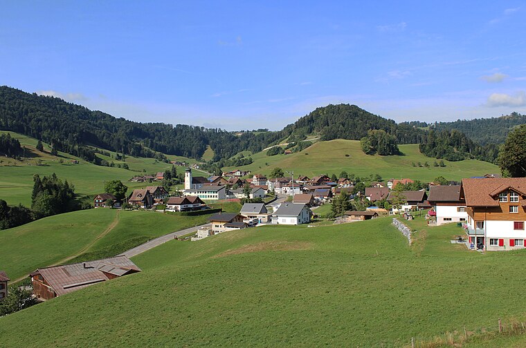
Photo: 1-Byte, CC BY-SA 4.0.
Mühlrüti is a small town in the Canton of St. Gallen in Switzerland. It is part of the municipality of Mosnang in Toggenburg, in hilly northeastern Switzerland. The population of about 400 people works mainly in the dairy farming industry. Mühlrüti is situated 6 km northwest of Libingen.
Wattwil
Village

Photo: Chriusha, CC BY-SA 3.0.
Wattwil is a municipality in the Wahlkreis of Toggenburg in the canton of St. Gallen in Switzerland, located along the Thur river. On 1 January 2013 the municipality of Krinau merged into Wattwil. Wattwil is situated 6 km southeast of Libingen.
Libingen
- Type: Sign
- Categories: information and tourism
- Location: Mosnang, Toggenburg, Canton of St. Gallen, Switzerland, Central Europe, Europe
- View on OpenStreetMap
Latitude
47.32882° or 47° 19′ 44″ northLongitude
9.02265° or 9° 1′ 22″ eastElevation
768 metres (2,520 feet)Open location code
8FVF82HF+G3OpenStreetMap ID
node 6244823066OpenStreetMap feature
tourism=information
This page is based on OpenStreetMap, Wikidata, and Wikimedia Commons.
We’d love your help improving our open data sources. Thank you for contributing.
Satellite Map
Discover Libingen from above in high-definition satellite imagery.
Places with the Same Name
Discover other places named “Libingen”.
Notable Places Nearby
Highlights include Spielplatz Schulhaus Libingen and Horn.
Nearby Places
Explore places such as Rössli and Schäfli.
Switzerland: Must-Visit Destinations
Delve into Zurich, Berne, Geneva, and Basel.
Curious Places to Discover
Uncover intriguing places from every corner of the globe.
About Mapcarta. Data © OpenStreetMap contributors and available under the Open Database License". Text is available under the CC BY-SA 4.0 license, except for photos, directions, and the map. Photo: EtschPat, CC BY-SA 4.0.