A Tapita
A Tapita is a restaurant in Montenegro, Faro. A Tapita is situated nearby to the church Igreja Do Montenegro, as well as near the bus station Faro Aeroporto.| Tap on a place to explore it |
Places of Interest Nearby
Highlights include Faro Airport and Teatro das Figuras.
Faro Airport
Aerodrome

Photo: BabyNuke, CC BY-SA 4.0.
Faro International Airport, officially Faro - Gago Coutinho International Airport, is located four kilometres west of the city of Faro in Portugal. The airport opened in July 1965 being the main gateway to Faro District and southwestern Spain, with nearly 10 million passengers using the facility in 2024.
Teatro das Figuras
Theater building

Photo: PauloMoreira, Public domain.
Teatro das Figuras is a theater building, which is situated 1½ km east of A Tapita.
Casa das Figuras
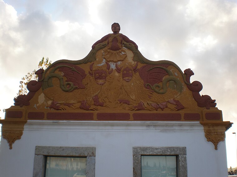
Photo: PauloMoreira, Public domain.
Casa das Figuras is situated 1½ km east of A Tapita.
Places in the Area
Nearby places include Santa Bárbara de Nexe and Pechão.
Santa Bárbara de Nexe
Village
Santa Bárbara de Nexe is a village and civil parish in the Portuguese municipality of Faro on the southern Algarve region. The population in 2011 was 4,116, in an area of 38.22 km². It is located a few kilometers from both the cities of Loulé and Faro. Santa Bárbara de Nexe is situated 9 km north of A Tapita.
Pechão
Village

Photo: Pedro S Bello, CC BY-SA 4.0.
Pechão is a Portuguese parish in the municipality of Olhão. The population in 2011 was 3,601, in an area of 19.79 km². Pechão is situated 9 km northeast of A Tapita.
A Tapita
- Type: Restaurant
- Wheelchair access: no
- Category: food
- Location: Montenegro, Faro, Faro District, Algarve, Portugal, Iberia, Europe
- View on OpenStreetMap
Latitude
37.02547° or 37° 1′ 32″ northLongitude
-7.96286° or 7° 57′ 46″ westOpen location code
8C9J22GP+5VOpenStreetMap ID
node 6260752728OpenStreetMap feature
amenity=restaurantOpenStreetMap attribute
wheelchair=no
This page is based on OpenStreetMap, Wikidata, and Wikimedia Commons.
We’d love your help improving our open data sources. Thank you for contributing.
Satellite Map
Discover A Tapita from above in high-definition satellite imagery.
Notable Places Nearby
Highlights include Igreja Do Montenegro and Faro Aeroporto.
Nearby Places
Explore places such as Restaurant Os Manos and Lizette.
Algarve: Must-Visit Destinations
Delve into Portimão, Lagos, Tavira, and Albufeira.
Curious Restaurants to Discover
Uncover intriguing restaurants from every corner of the globe.
About Mapcarta. Data © OpenStreetMap contributors and available under the Open Database License". Text is available under the CC BY-SA 4.0 license, except for photos, directions, and the map. Photo: Inkey, CC BY-SA 2.0.