Lic. Manuel Fernando Soto
Lic. Manuel Fernando Soto is a work of art in Hidalgo, Central Mexico. Lic. Manuel Fernando Soto is situated nearby to the government office Juzgado Penal, as well as near Juzgado Familiar.| Tap on a place to explore it |
Places of Interest Nearby
Highlights include Huapalcalco.
Huapalcalco

Photo: JesusMX, CC BY-SA 3.0.
Huapalcalco is a pre-Columbian Mesoamerican archaeological site located approximately 5 kilometres north of Tulancingo, in the state of Hidalgo, Mexico. Huapalcalco is situated 2 km north of Lic. Manuel Fernando Soto.
Places in the Area
Nearby places include Tulancingo and Santiago Tulantepec.
Tulancingo

Photo: Marrovi, CC BY-SA 4.0.
Tulancingo is the second-largest city in the Mexican state of Hidalgo. It is also home to the Huapalcalco archeological site, which was the forerunner to the Teotihuacan civilization.
Santiago Tulantepec
Town
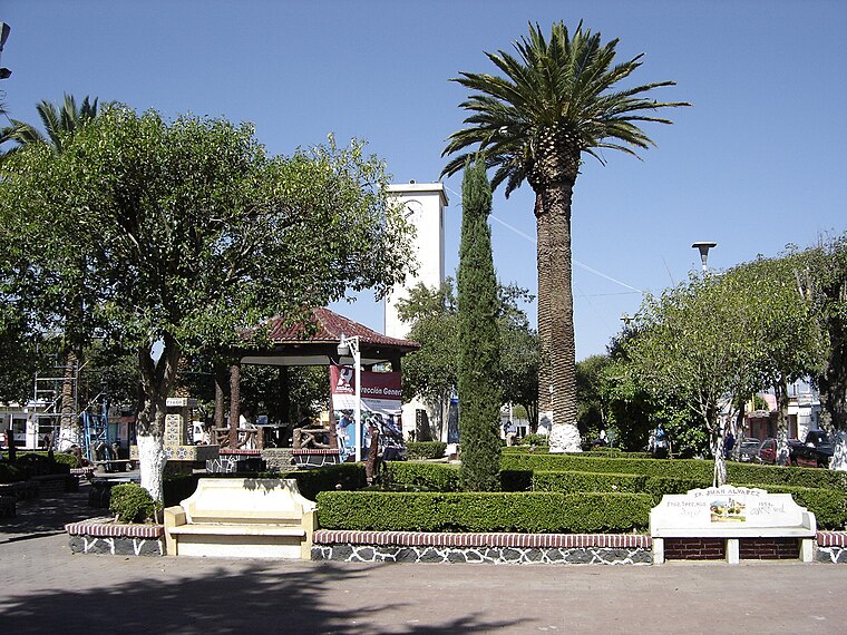
Photo: Wikimedia, Public domain.
Santiago Tulantepec is a town in Mexico that is the municipal seat of Tulantepec de Lugo Guerrero, in the state of Hidalgo. Santiago Tulantepec is situated 7 km south of Lic. Manuel Fernando Soto.
Cuautepec de Hinojosa Municipality
Town
Cuautepec de Hinojosa is a town and one of the 84 municipalities of Hidalgo, in central Mexico. The municipal seat lies at Cuautepec de Hinojosa. The municipality covers an area of 372.6 km2. As of 2020, the municipality had a total population of 64,421. Cuautepec de Hinojosa Municipality is situated 8 km southeast of Lic. Manuel Fernando Soto.
Lic. Manuel Fernando Soto
- Type: Work of art
- Artwork type: statue
- Category: tourism
- Location: Hidalgo, Central Mexico, Mexico, North America
- View on OpenStreetMap
Latitude
20.09876° or 20° 5′ 56″ northLongitude
-98.35916° or 98° 21′ 33″ westOpen location code
76G33JXR+G8OpenStreetMap ID
node 6289473839OpenStreetMap feature
tourism=artworkOpenStreetMap attribute
artwork_type=statue
This page is based on OpenStreetMap, Wikidata, and Wikimedia Commons.
We’d love your help improving our open data sources. Thank you for contributing.
Satellite Map
Discover Lic. Manuel Fernando Soto from above in high-definition satellite imagery.
Notable Places Nearby
Highlights include Juzgado Penal and Juzgado Familiar.
Nearby Places
Explore places such as Atlante de Tula and Autohotel Calens.
Hidalgo: Must-Visit Destinations
Delve into Pachuca, Tulancingo, Tula de Allende, and Mineral del Monte.
Curious Work Of Arts to Discover
Uncover intriguing work of arts from every corner of the globe.
About Mapcarta. Data © OpenStreetMap contributors and available under the Open Database License". Text is available under the CC BY-SA 4.0 license, except for photos, directions, and the map. Photo: Wikimedia, CC0.