Tannenbergrain
Tannenbergrain is a neighborhood in Obersontheim, Schwäbisch Hall, Baden-Württemberg. Tannenbergrain is situated nearby to the village Mittelfischach, as well as near the locality Enslinshalde.| Tap on a place to explore it |
Places of Interest
Highlights include Mittelfischach airfield and Schloss Obersontheim.
Mittelfischach airfield
Sports venue

Photo: Carsten Steger, CC BY-SA 4.0.
Mittelfischach airfield is a sports venue.
Schloss Obersontheim
Castle

Photo: Hellerblech, Public domain.
Schloss Obersontheim is a castle, which is situated 2½ km northeast of Tannenbergrain.
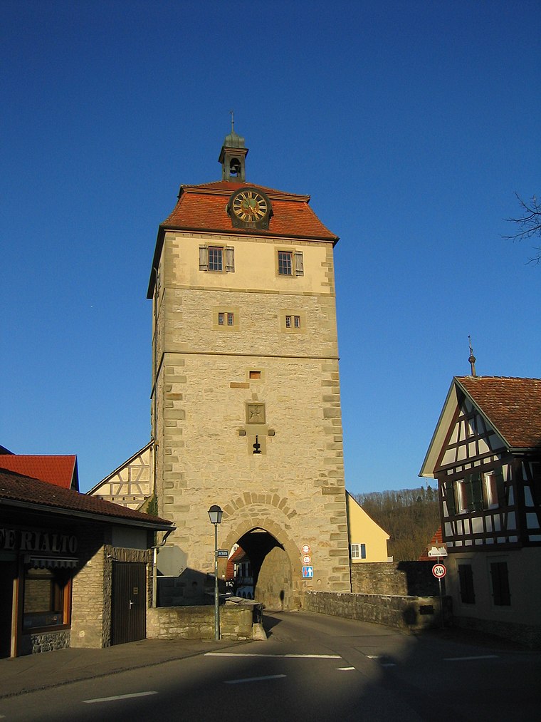
Evangelische Pfarrkirche Obersontheim
Church
 Evangelische Pfarrkirche Obersontheim is a church, which is situated 3 km northeast of Tannenbergrain.
Places in the Area
Nearby places include Bühlertann and Vellberg.
Bühlertann
Village

Photo: BerndH, CC BY-SA 3.0.
Bühlertann is a municipality in the district of Schwäbisch Hall in Baden-Württemberg in Germany. Bühlertann is situated 3 km east of Tannenbergrain.
Vellberg
Town
 Vellberg is a town in the district of Schwäbisch Hall, in Baden-Württemberg, Germany. It is located 10 km east of Schwäbisch Hall, and 15 km southwest of Crailsheim. Vellberg is situated 5 km north of Tannenbergrain.
Merkelbach
Hamlet

Photo: BerndH, CC BY-SA 3.0.
Merkelbach is a hamlet, which is situated 5 km northeast of Tannenbergrain.
Tannenbergrain
- Type: Neighborhood
- Category: locality
- Location: Obersontheim, Schwäbisch Hall, Stuttgart, Baden-Württemberg, Germany, Central Europe, Europe
- View on OpenStreetMap
Latitude
49.04266° or 49° 2′ 34″ northLongitude
9.86634° or 9° 51′ 59″ eastOpen location code
8FXF2VV8+3GOpenStreetMap ID
node 6307998845OpenStreetMap feature
place=neighbourhood
This page is based on OpenStreetMap, Wikidata, and Wikimedia Commons.
We’d love your help improving our open data sources. Thank you for contributing.
Satellite Map
Discover Tannenbergrain from above in high-definition satellite imagery.
Localities in the Area
Explore places such as Mittelfischach and Enslinshalde.
Notable Places Nearby
Highlights include Tannenbergrain and SV Löwen.
Baden-Württemberg: Must-Visit Destinations
Delve into Stuttgart, Heidelberg, Karlsruhe, and Mannheim.
Curious Neighborhoods to Discover
Uncover intriguing neighborhoods from every corner of the globe.
About Mapcarta. Data © OpenStreetMap contributors and available under the Open Database License". Text is available under the CC BY-SA 4.0 license, except for photos, directions, and the map. Photo: Traveler100, CC BY-SA 3.0.