Collado de los Royos
Collado de los Royos is a mountain saddle in Mora de Rubielos Municipality, Teruel, Aragon and has an elevation of 1,137 metres. Collado de los Royos is situated nearby to the locality El Batán, as well as near Pozo Negro.| Tap on a place to explore it |
Places of Interest
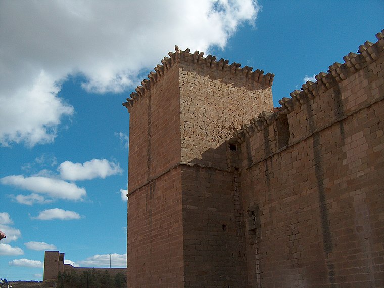
Highlights include Castle of Mora de Rubielos.
Collado de los Royos
- Type: Mountain saddle with an elevation of 1,137 metres
- Category: landform
- Location: Mora de Rubielos Municipality, Teruel, Aragon, Northern Spain, Spain, Iberia, Europe
- View on OpenStreetMap
Latitude
40.2817° or 40° 16′ 54″ northLongitude
-0.7387° or 0° 44′ 19″ westElevation
1,137 metres (3,730 feet)Open location code
8CGX77J6+MGOpenStreetMap ID
node 6349962094OpenStreetMap feature
natural=saddle
This page is based on OpenStreetMap, Wikidata, and Wikimedia Commons.
We’d love your help improving our open data sources. Thank you for contributing.
Satellite Map
Discover Collado de los Royos from above in high-definition satellite imagery.
Localities in the Area
Explore places such as El Batán and Pozo Negro.
Notable Places Nearby
Highlights include Embalse de Tosquillas and Cementerio de Mora de Rubielos.
Aragon: Must-Visit Destinations
Delve into Zaragoza, Huesca, Teruel, and Calatayud.
Curious Mountain Saddles to Discover
Uncover intriguing mountain saddles from every corner of the globe.
About Mapcarta. Data © OpenStreetMap contributors and available under the Open Database License". Text is available under the CC BY-SA 4.0 license, except for photos, directions, and the map. Photo: Javidlf, CC BY-SA 4.0.