Coves de Marmol (Sistema Sud)
Coves de Marmol (Sistema Sud) is a cave in Calvià, Balearic Islands. Coves de Marmol (Sistema Sud) is situated nearby to the cave Coves de Marmol (Avenc de Marmol II), as well as near Cova devora ses Coves de Marmol o Avenc Zeta.| Tap on a place to explore it |
Places of Interest Nearby
Highlights include Puig d’en Bou and Puig Gros de Bendinat.


Cova d’en Domingo
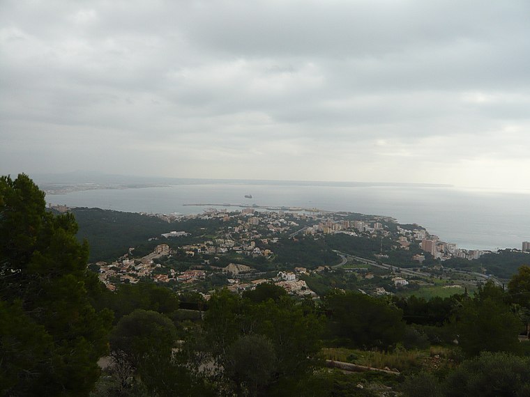
Cave

Photo: Joan Gené, CC BY-SA 4.0.
Cova d’en Domingo is a cave, which is situated 1½ km east of Coves de Marmol (Sistema Sud).
Places in the Area
Nearby places include Son Vida and Portals Nous.
Son Vida
Suburb

Photo: Joan Gené, CC BY-SA 4.0.
Son Vida is a suburb, which is situated 4 km northeast of Coves de Marmol (Sistema Sud).
Portals Nous
Suburb

Photo: Liilia Moroz, CC BY-SA 4.0.
Portals Nous is a neighborhood in the municipality of Calvià on the island of Mallorca, part of the Spanish autonomous community of the Balearic Islands. Portals Nous is situated 4 km south of Coves de Marmol (Sistema Sud).
Coves de Marmol (Sistema Sud)
- Type: Cave
- Category: landform
- Location: Calvià, Balearic Islands, Spain, Iberia, Europe
- View on OpenStreetMap
Latitude
39.56833° or 39° 34′ 6″ northLongitude
2.55293° or 2° 33′ 11″ eastElevation
350 metres (1,148 feet)Open location code
8FF4HH93+85OpenStreetMap ID
node 6357010099OpenStreetMap feature
natural=cave_entrance
This page is based on OpenStreetMap, Wikidata, and Wikimedia Commons.
We’d love your help improving our open data sources. Thank you for contributing.
Satellite Map
Discover Coves de Marmol (Sistema Sud) from above in high-definition satellite imagery.
Notable Places Nearby
Highlights include Coves de Marmol (Avenc de Marmol II) and Coves de Marmol (Avenc de Marmol I).
Nearby Places
Explore places such as camí de Bendinat and Benatiga nou.
Balearic Islands: Must-Visit Destinations
Delve into Palma de Mallorca, Formentera, Ibiza, and Maó.
Curious Caves to Discover
Uncover intriguing caves from every corner of the globe.
About Mapcarta. Data © OpenStreetMap contributors and available under the Open Database License". Text is available under the CC BY-SA 4.0 license, except for photos, directions, and the map. Photo: anieto2k, CC BY-SA 2.0.