La Isla de los barrancos
La Isla de los barrancos is in Valle Gran Rey, Santa Cruz de Tenerife. La Isla de los barrancos is situated nearby to The Retama viewpoint, as well as near the scenic viewpoint Mirador de la Retama.| Tap on a place to explore it |
Places of Interest Nearby
Highlights include Loceras de El Cercado.
Loceras de El Cercado
Museum
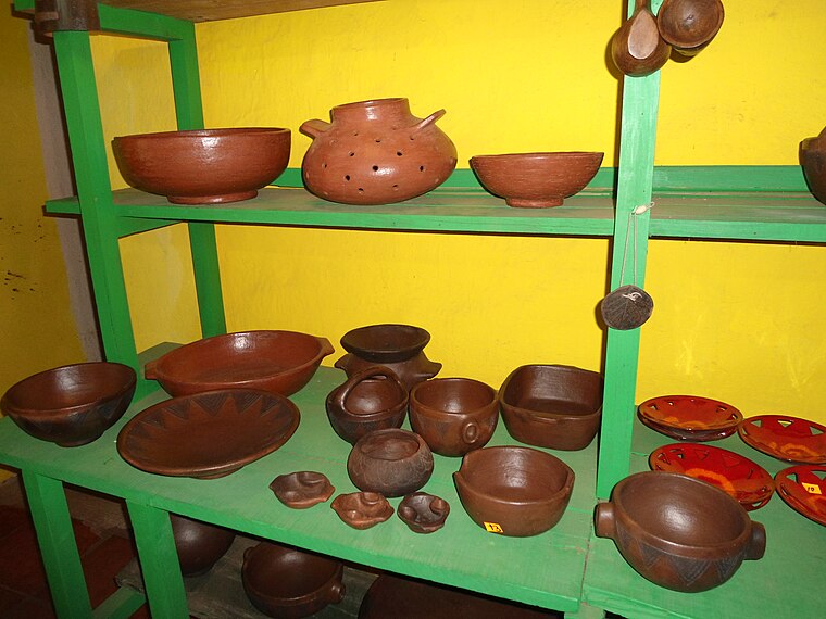
Photo: Rebexho, CC BY-SA 4.0.
Loceras de El Cercado is a museum, which is situated 4 km east of La Isla de los barrancos.
Places in the Area
Nearby places include La Calera and Alojera.
La Calera
Village

Photo: Llez, CC BY-SA 3.0.
La Calera is a village, which is situated 3½ km south of La Isla de los barrancos.
Alojera
Hamlet

Photo: Wikimedia, CC BY-SA 3.0.
Alojera is a hamlet, which is situated 4 km north of La Isla de los barrancos.
La Dama
Hamlet

Photo: Waielbi, CC BY-SA 3.0.
La Dama is a hamlet, which is situated 8 km south of La Isla de los barrancos.
La Isla de los barrancos
- Type: Sign
- Categories: information and tourism
- Location: Valle Gran Rey, Santa Cruz de Tenerife, La Gomera, Canary Islands, Spain, Iberia, Europe
- View on OpenStreetMap
Latitude
28.12621° or 28° 7′ 34″ northLongitude
-17.32183° or 17° 19′ 19″ westOpen location code
7CW44MGH+F7OpenStreetMap ID
node 6363534122OpenStreetMap feature
tourism=information
This page is based on OpenStreetMap, Wikidata, and Wikimedia Commons.
We’d love your help improving our open data sources. Thank you for contributing.
Satellite Map
Discover La Isla de los barrancos from above in high-definition satellite imagery.
Notable Places Nearby
Highlights include The Retama viewpoint and Mirador de la Retama.
Nearby Places
Explore places such as Tienda de vino and Arure.
Canary Islands: Must-Visit Destinations
Delve into Santa Cruz de Tenerife, Las Palmas, La Palma, and San Cristóbal de La Laguna.
Curious Places to Discover
Uncover intriguing places from every corner of the globe.
About Mapcarta. Data © OpenStreetMap contributors and available under the Open Database License". Text is available under the CC BY-SA 4.0 license, except for photos, directions, and the map. Photo: paciana, CC BY 3.0.