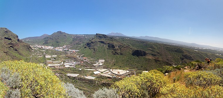
Montaña Aguda
Montaña Aguda is a volcano in Santiago del Teide, Santa Cruz de Tenerife and has an elevation of 1,364 metres. Montaña Aguda is situated nearby to the locality Montañas Negras, as well as near Volcán de La Abejera.| Tap on a place to explore it |
Places of Interest
Highlights include Iglesia de San Fernando Rey.
Iglesia de San Fernando Rey
Church

Photo: Florival fr, CC BY-SA 3.0.
Iglesia de San Fernando Rey is a church.
Places in the Area
Nearby places include Masca and Tamaimo.
Masca

Photo: Segantini, Public domain.
Masca is a mountain village in the west of Tenerife and regarded as the most beautiful and picturesque village on the island. Masca is at 650 m altitude about 100 inhabitants.
San José de Los Llanos
Neighborhood

Photo: Javiersanp, CC BY-SA 3.0.
San José de Los Llanos is a neighborhood.
Montaña Aguda
- Type: Volcano with an elevation of 1,364 metres
- Category: landform
- Location: Santiago del Teide, Santa Cruz de Tenerife, Tenerife, Canary Islands, Spain, Iberia, Europe
- View on OpenStreetMap
Latitude
28.2896° or 28° 17′ 23″ northLongitude
-16.7768° or 16° 46′ 37″ westElevation
1,364 metres (4,475 feet)Open location code
7CW576QF+R7OpenStreetMap ID
node 6364592046OpenStreetMap feature
natural=volcano
This page is based on OpenStreetMap, Wikidata, and Wikimedia Commons.
We’d love your help improving our open data sources. Thank you for contributing.
Satellite Map
Discover Montaña Aguda from above in high-definition satellite imagery.
Places with the Same Name
Discover other places named “Montaña Aguda”.
Localities in the Area
Explore places such as Montañas Negras and Volcán de La Abejera.
Notable Places Nearby
Highlights include Montaña del Estrecho and Montaña de los Poleos.
Tenerife: Must-Visit Destinations
Delve into Santa Cruz de Tenerife, San Cristóbal de La Laguna, Teide National Park, and Puerto de la Cruz.
Curious Volcanoes to Discover
Uncover intriguing volcanoes from every corner of the globe.
About Mapcarta. Data © OpenStreetMap contributors and available under the Open Database License". Text is available under the CC BY-SA 4.0 license, except for photos, directions, and the map. Photo: Wikimedia, CC BY-SA 4.0.