Slagter Lund Gårdbutik
Slagter Lund Gårdbutik is a farm shop in Aarhus Municipality, Central Jutland. Slagter Lund Gårdbutik is situated nearby to the village Trige, as well as near Spørring.| Tap on a place to explore it |
Places of Interest Nearby
Highlights include Grundfør Church and Haraldslund.
Grundfør Church
Church

Photo: Bococo, CC BY-SA 3.0.
Grundfør Church is situated 2 km west of Slagter Lund Gårdbutik.
Haraldslund
Manor estate

Photo: Nico, CC BY-SA 4.0.
Haraldslund is a manor estate, which is situated 2½ km northwest of Slagter Lund Gårdbutik.
Trige Church
Church
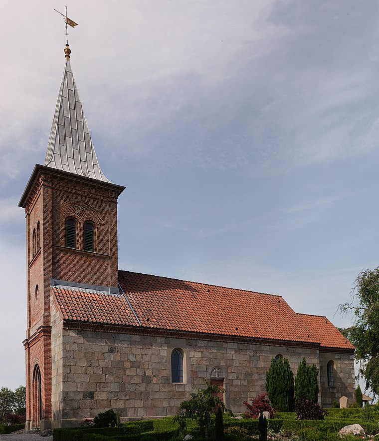
Photo: Villy Fink Isaksen, CC BY-SA 4.0.
Trige Church is situated 2½ km southeast of Slagter Lund Gårdbutik.
Places in the Area
Nearby places include Trige and Spørring.
Trige
Village

Photo: Hubertus, CC BY-SA 3.0.
Trige is a town and suburb of Aarhus in Denmark. It has a population of 3,459. Bærmoseskov is a newly raised 80 hectare woodland at the outskirts of Trige, part of the New Forests of Aarhus.
Spørring
Village

Photo: Wikimedia, CC BY-SA 2.5.
Spørring is a town in Aarhus Municipality, Central Denmark Region in Denmark with a population of 1,207. Spørring is situated in the northern section of Aarhus Municipality between the city of Aarhus and Randers in Spørring Parish close to Trige and Ølsted. Spørring is situated 3½ km north of Slagter Lund Gårdbutik.
Hinnerup
Town

Photo: Nico-dk, CC BY-SA 3.0.
Hinnerup is a small town in eastern Jutland, Denmark, in Favrskov Municipality, Region Midtjylland, northwest of Aarhus. It has become mostly a suburb, and is connected to Aarhus by Søften, Lisbjerg and Skejby. Hinnerup is situated 4 km west of Slagter Lund Gårdbutik.
Slagter Lund Gårdbutik
- Type: Farm shop
- Categories: shop and food
- Location: Aarhus Municipality, Central Jutland, Denmark, Nordic countries, Europe
- View on OpenStreetMap
Latitude
56.27034° or 56° 16′ 13″ northLongitude
10.13279° or 10° 7′ 58″ eastOpen location code
9F8G74CM+44OpenStreetMap ID
node 6381636894OpenStreetMap feature
shop=farm
This page is based on OpenStreetMap, Wikidata, and Wikimedia Commons.
We’d love your help improving our open data sources. Thank you for contributing.
Satellite Map
Discover Slagter Lund Gårdbutik from above in high-definition satellite imagery.
Notable Places Nearby
Highlights include Lergraven and Nature Energy Bånlev.
Nearby Places
Explore places such as 400/220/150 kV Trige and 60/15kV station Trige.
Denmark: Must-Visit Destinations
Delve into Copenhagen, Aarhus, Odense, and Aalborg.
Curious Farm Shops to Discover
Uncover intriguing farm shops from every corner of the globe.
About Mapcarta. Data © OpenStreetMap contributors and available under the Open Database License". Text is available under the CC BY-SA 4.0 license, except for photos, directions, and the map. Photo: Wikimedia, CC BY-SA 3.0.