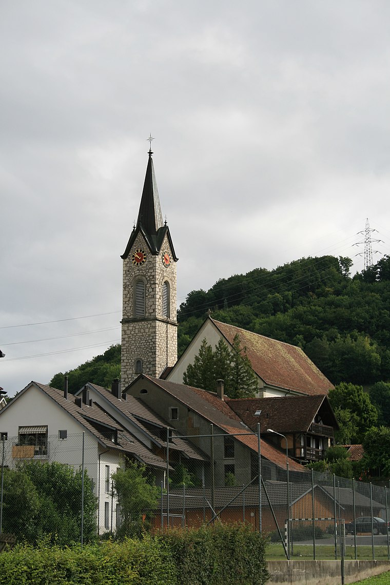
Nied.weningen Kirche
Nied.weningen Kirche is in Niederweningen, Dielsdorf, Canton of Zurich. Nied.weningen Kirche is situated nearby to the church Kirche Niederweningen, as well as near the public building Reservoir Lägern.| Tap on a place to explore it |
Places of Interest Nearby
Highlights include Mammutmuseum Niederweningen and Niederweningen railway station.
Mammutmuseum Niederweningen
Museum

Photo: Roland zh, CC BY-SA 3.0.
The Mammutmuseum Niederweningen, lit. 'Mammoth Museum Niederweningen', is a paleontological and geological museum in the municipality of Niederweningen in the Wehntal, canton of Zurich, Switzerland, and one of the few mammoth museums in Europe. Mammutmuseum Niederweningen is situated 630 metres east of Nied.weningen Kirche.
Niederweningen railway station
Railway station

Photo: DidiWeidmann, CC BY-SA 3.0.
Niederweningen railway station is a railway station in the municipality of Niederweningen in the Swiss canton of Zurich, located close to the border of both the municipality and the canton. Niederweningen railway station is situated 1 km north of Nied.weningen Kirche.
Niederweningen Dorf railway station
Railway stop

Photo: Pechristener, CC BY-SA 2.0.
Niederweningen Dorf railway station is a railway station in the Swiss canton of Zurich and municipality of Niederweningen. The station is located close to the centre of the municipality, on the Wehntal railway line, within fare zone 117 of the Zürcher Verkehrsverbund. Niederweningen Dorf railway station is situated 1 km east of Nied.weningen Kirche.
Places in the Area
Nearby places include Niederweningen and Unterehrendingen.
Niederweningen
Village

Photo: Roland zh, CC BY-SA 3.0.
Niederweningen is a municipality in the district of Dielsdorf in the canton of Zürich in Switzerland.
Schneisingen
Village
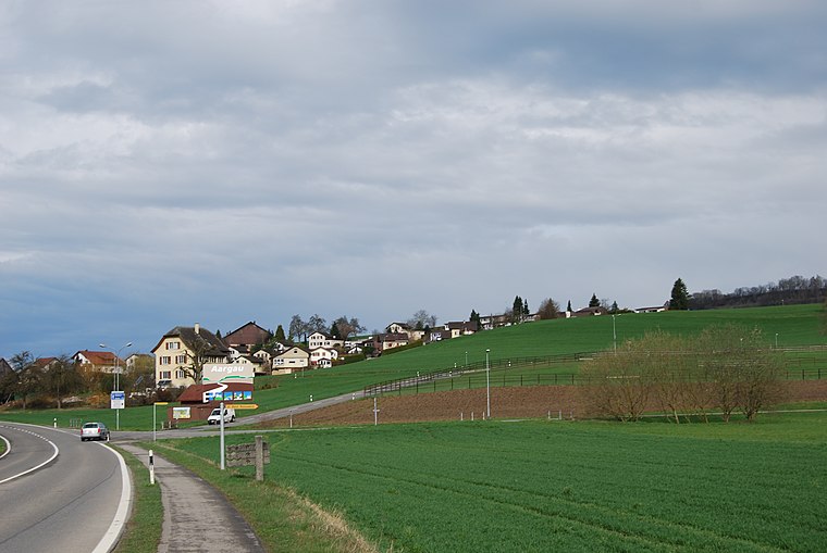
Photo: DidiWeidmann, CC BY-SA 3.0.
Schneisingen is a municipality in the district of Zurzach in the canton of Aargau in Switzerland.
Nied.weningen Kirche
- Type: Sign
- Categories: information and tourism
- Location: Niederweningen, Dielsdorf, Canton of Zurich, Switzerland, Central Europe, Europe
- View on OpenStreetMap
Latitude
47.50365° or 47° 30′ 13″ northLongitude
8.36922° or 8° 22′ 9″ eastElevation
505 metres (1,657 feet)Open location code
8FVCG939+FMOpenStreetMap ID
node 6421952104OpenStreetMap feature
tourism=information
This page is based on OpenStreetMap, Wikidata, and Wikimedia Commons.
We’d love your help improving our open data sources. Thank you for contributing.
Satellite Map
Discover Nied.weningen Kirche from above in high-definition satellite imagery.
Notable Places Nearby
Highlights include Kirche Niederweningen and Reservoir Lägern.
Nearby Places
Explore places such as Coiffure Zollhaus and Ingenieurbüro André Deubelbeiss.
Switzerland: Must-Visit Destinations
Delve into Zurich, Berne, Geneva, and Basel.
Curious Places to Discover
Uncover intriguing places from every corner of the globe.
About Mapcarta. Data © OpenStreetMap contributors and available under the Open Database License". Text is available under the CC BY-SA 4.0 license, except for photos, directions, and the map. Photo: Roland zh, CC BY-SA 3.0.