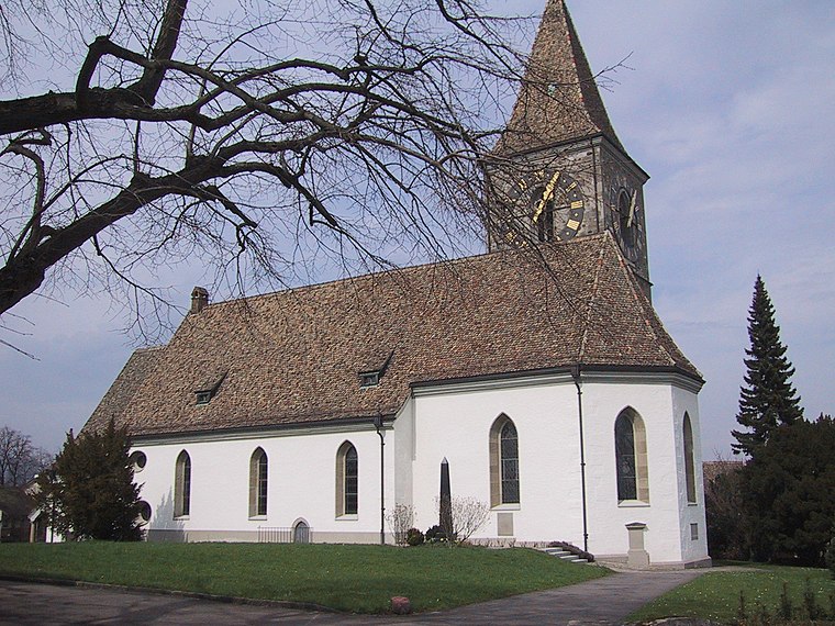
Kilchberg Kirche
Kilchberg Kirche is in Kilchberg (ZH), Horgen District, Canton of Zurich. Kilchberg Kirche is situated nearby to the community center Kirchgemeindehaus, as well as near Reformed church.| Tap on a place to explore it |
Places of Interest Nearby
Highlights include Reformed church and Brunnenmoos school house.
Brunnenmoos school house
School
 Brunnenmoos school house is situated 290 metres northeast of Kilchberg Kirche.
Lindt Home of Chocolate
Museum

Photo: Brian Shamblen, CC BY 2.0.
The Lindt Home of Chocolate is a chocolate museum, research center, and visitor attraction located in Kilchberg, in the canton of Zurich, Switzerland, adjacent to the headquarters of Lindt & Sprüngli. Lindt Home of Chocolate is situated 690 metres east of Kilchberg Kirche.
Places in the Area
Nearby places include Kilchberg and Adliswil.
Kilchberg
Village
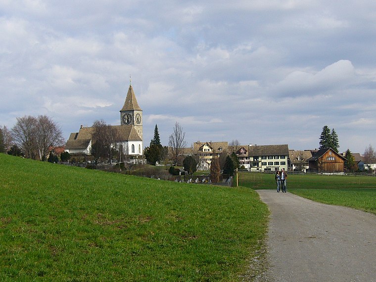
Photo: Wikimedia, CC BY-SA 3.0.
Kilchberg is a municipality in the district of Horgen in the canton of Zürich in Switzerland. Kilchberg is the site of a regional cemetery.
Adliswil
Town
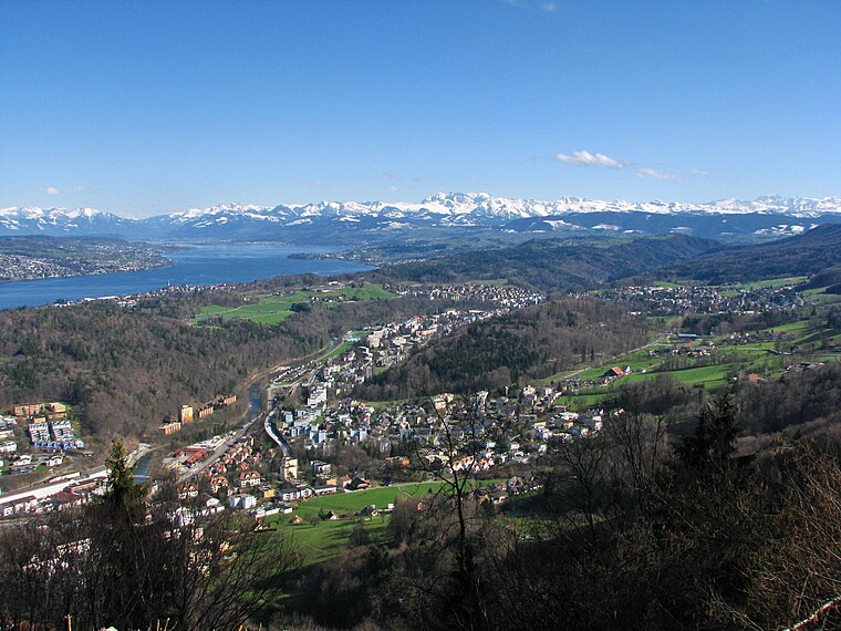
Photo: Roland zh, CC BY-SA 3.0.
Adliswil is a town and a municipality in the district of Horgen in the canton of Zürich in Switzerland. The official language of Adliswil is German, but the main spoken language is the local variant of the Alemannic Swiss German dialect.
Rüschlikon
Village
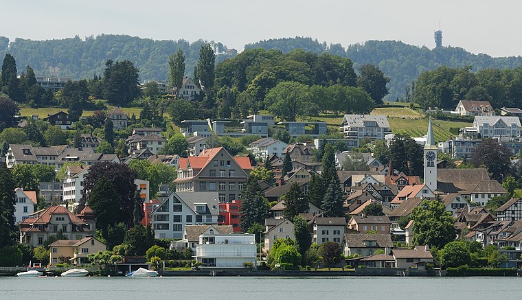
Photo: Iotatau, CC BY-SA 3.0.
Rüschlikon is a municipality in the district of Horgen in the canton of Zürich in Switzerland. It is located on the west shore of Lake Zürich.
Kilchberg Kirche
- Type: Sign
- Categories: information and tourism
- Location: Kilchberg (ZH), Horgen District, Canton of Zurich, Switzerland, Central Europe, Europe
- View on OpenStreetMap
Latitude
47.31785° or 47° 19′ 4″ northLongitude
8.54181° or 8° 32′ 31″ eastElevation
510 metres (1,673 feet)Operator
Zürcher WanderwegeOpen location code
8FVC8G9R+4POpenStreetMap ID
node 6441285256OpenStreetMap feature
tourism=information
This page is based on OpenStreetMap, Wikidata, and Wikimedia Commons.
We’d love your help improving our open data sources. Thank you for contributing.
Satellite Map
Discover Kilchberg Kirche from above in high-definition satellite imagery.
Notable Places Nearby
Highlights include Kirchgemeindehaus and Kilchberg cemetery.
Nearby Places
Explore places such as Brocki Frauenverein Kilchberg and Kirche Kilchberg.
Switzerland: Must-Visit Destinations
Delve into Zurich, Berne, Geneva, and Basel.
Curious Places to Discover
Uncover intriguing places from every corner of the globe.
About Mapcarta. Data © OpenStreetMap contributors and available under the Open Database License". Text is available under the CC BY-SA 4.0 license, except for photos, directions, and the map. Photo: Roland zh, CC BY-SA 3.0.