Cresma Tanatorio Crematorio de mascotas Valencia
Cresma Tanatorio Crematorio de mascotas Valencia is a crematorium in Aldaia, Valencia, Valencian Community which is located on Calle Carmen Martín Gaite. Cresma Tanatorio Crematorio de mascotas Valencia is situated nearby to the pitch Skatepark Alaquàs, as well as near Carrer Francisco Tomás y Valiente.| Tap on a place to explore it |
Places of Interest Nearby
Highlights include Castell-Palau dels Aguilar and Aldaia railway station.
Castell-Palau dels Aguilar
Castle
 Castell-Palau dels Aguilar is a castle, which is situated 1½ km east of Cresma Tanatorio Crematorio de mascotas Valencia.
Aldaia railway station
Railway station

Photo: 19Tarrestnom65, CC BY-SA 3.0.
Aldaia railway station is situated 1¼ km northeast of Cresma Tanatorio Crematorio de mascotas Valencia.
Church of Our Lady of El Olivar
Church
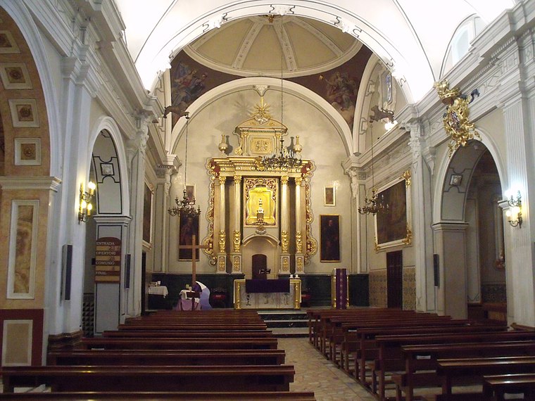
Photo: 19Tarrestnom65, CC BY-SA 3.0.
Church of Our Lady of El Olivar is situated 1¼ km east of Cresma Tanatorio Crematorio de mascotas Valencia.
Places in the Area
Nearby places include Alaquàs and Aldaia.
Alaquàs
Town

Photo: Qoan, CC BY-SA 3.0.
Alaquàs is a municipality in the Horta Oest comarca in the Valencian Community.
Aldaia
Town

Photo: Qoan, CC BY-SA 3.0.
Aldaia is a municipality in the comarca of Horta Oest, province of Valencia, Valencian Community, Spain.
Torrent
 Torrent is the second largest city in Valencia province. The city of 81,000 people is 9 km southwest of the capital city of Valencia.
Cresma Tanatorio Crematorio de mascotas Valencia
- Type: Crematorium
- Address: Calle Carmen Martín Gaite 7, Alacuás, 46970
- Location: Aldaia, Valencia, Valencian Community, Eastern Spain, Spain, Iberia, Europe
- View on OpenStreetMap
Latitude
39.45335° or 39° 27′ 12″ northLongitude
-0.47533° or 0° 28′ 31″ westOpen location code
8CFXFG3F+8VOpenStreetMap ID
node 6448067310OpenStreetMap feature
amenity=crematorium
This page is based on OpenStreetMap, Wikidata, and Wikimedia Commons.
We’d love your help improving our open data sources. Thank you for contributing.
Satellite Map
Discover Cresma Tanatorio Crematorio de mascotas Valencia from above in high-definition satellite imagery.
Notable Places Nearby
Highlights include Skatepark Alaquàs and Carrer Francisco Tomás y Valiente.
Nearby Places
Explore places such as Restaurante Asador Paloma y Joel and Servar Global Projects.
Valencia: Must-Visit Destinations
Delve into Valencia, Sagunto, Gandía, and Xàtiva.
Curious Crematoriums to Discover
Uncover intriguing crematoriums from every corner of the globe.
About Mapcarta. Data © OpenStreetMap contributors and available under the Open Database License". Text is available under the CC BY-SA 4.0 license, except for photos, directions, and the map. Photo: andruby, CC BY 2.0.