plan d’évacuation
plan d’évacuation is in Antibes, Arrondissement of Grasse, Provence-Alpes-Côte d’Azur. plan d’évacuation is situated nearby to Flamant de Cuba ou Flamant des Caraïbes, as well as near the reservoir Otaries de Stellers.| Tap on a place to explore it |
Places of Interest Nearby
Highlights include Marineland of Antibes and Gare de Biot.
Marineland of Antibes
Public aquarium

Photo: Arnaud 25, Public domain.
The Marineland of Antibes was a theme park founded in 1970 by Count Roland de La Poype in Antibes, in the French Riviera. It included a marine zoological park with dolphinarium, a water park, a children's play park, mini golf and a hotel. Marineland of Antibes is situated 220 metres north of plan d’évacuation.
Gare de Biot
Railway station

Photo: Moppes, CC BY-SA 3.0.
Gare de Biot is a railway station, which is situated 290 metres south of plan d’évacuation.
Antibes Land
Theme park
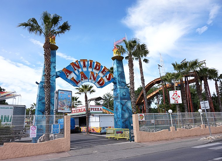
Photo: Kulmalukko, CC BY-SA 3.0.
Antibes Land is a theme park, which is situated 320 metres west of plan d’évacuation.
Places in the Area
Nearby places include Biot and Villeneuve-Loubet.
Biot
Village

Photo: Jpchevreau, CC BY-SA 4.0.
Biot is a small fortified medieval hilltop village in the Provence-Alpes-Côte d’Azur near Antibes, between Nice and Cannes. Many people come to Biot for its renowned cubist art museum of Fernand Leger as well as the winding cobbled lanes on the elevated fort. Biot is situated 2½ km northwest of plan d’évacuation.
Villeneuve-Loubet
Town

Photo: Ariadacapo, CC BY 4.0.
Villeneuve-Loubet is a commune in the Alpes-Maritimes department in the Provence-Alpes-Côte d'Azur region in Southeastern France. It lies between Cagnes-sur-Mer and Antibes, at the mouth of the river Loup, ten kilometres west of central Nice. Villeneuve-Loubet is situated 5 km north of plan d’évacuation.
Juan-les-Pins
Suburb

Photo: Ameilland, CC BY-SA 3.0.
Juan-les-Pins is a town in the commune of Antibes in the Alpes-Maritimes department in Southeastern France. Located on the French Riviera, it is situated between Nice and Cannes, 13 kilometres to the southwest of Nice Côte d'Azur Airport. Juan-les-Pins is situated 5 km south of plan d’évacuation.
plan d’évacuation
- Type: Map
- Categories: information and tourism
- Location: Antibes, Arrondissement of Grasse, Alpes-Maritimes, Provence-Alpes-Côte d’Azur, France, Europe
- View on OpenStreetMap
Latitude
43.61346° or 43° 36′ 48″ northLongitude
7.12615° or 7° 7′ 34″ eastOpen location code
8FM9J47G+9FOpenStreetMap ID
node 6455207030OpenStreetMap feature
tourism=information
This page is based on OpenStreetMap, Wikidata, and Wikimedia Commons.
We’d love your help improving our open data sources. Thank you for contributing.
Satellite Map
Discover plan d’évacuation from above in high-definition satellite imagery.
Notable Places Nearby
Highlights include Flamant de Cuba ou Flamant des Caraïbes and Otaries de Stellers.
Nearby Places
Explore places such as Grand Dauphin and Calypso café.
Alpes-Maritimes: Must-Visit Destinations
Delve into Nice, Cannes, Menton, and Grasse.
Curious Places to Discover
Uncover intriguing places from every corner of the globe.
About Mapcarta. Data © OpenStreetMap contributors and available under the Open Database License". Text is available under the CC BY-SA 4.0 license, except for photos, directions, and the map. Photo: David Baron, CC BY-SA 2.0.