Gesundheitsquell
Gesundheitsquell is a locality in Bad Schmiedeberg, Wittenberg, Saxony-Anhalt. Gesundheitsquell is situated nearby to the hamlet Moschwig, as well as near Walkmühle.| Tap on a place to explore it |
Places of Interest
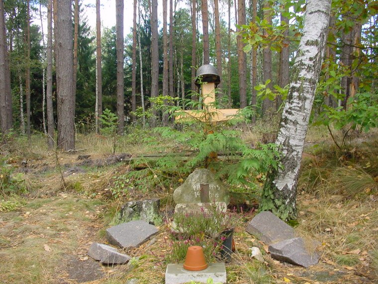
Highlights include Soldatengrab and St. Maria Regina Pacis.

St. Nicolai protestant church
Church

Photo: Clemensfranz, CC BY-SA 3.0.
St. Nicolai protestant church is situated 2½ km northeast of Gesundheitsquell.
Places in the Area
Nearby places include Dahlenberg and Kossa.
Dahlenberg
Village

Photo: Wolkenkratzer, CC BY-SA 4.0.
Dahlenberg is a village, which is situated 6 km southeast of Gesundheitsquell.
Kossa
Village

Photo: Radler59, CC BY-SA 4.0.
Kossa is a village, which is situated 6 km southwest of Gesundheitsquell.
Österitz
Village

Photo: Wolkenkratzer, CC BY-SA 4.0.
Österitz is a village, which is situated 8 km north of Gesundheitsquell.
Gesundheitsquell
- Type: Locality
- Location: Bad Schmiedeberg, Wittenberg, Saxony-Anhalt, Germany, Central Europe, Europe
- View on OpenStreetMap
Latitude
51.6661° or 51° 39′ 58″ northLongitude
12.71717° or 12° 43′ 2″ eastOpen location code
9F3JMP88+CVOpenStreetMap ID
node 6509845501OpenStreetMap feature
place=locality
This page is based on OpenStreetMap, Wikidata, and Wikimedia Commons.
We’d love your help improving our open data sources. Thank you for contributing.
Satellite Map
Discover Gesundheitsquell from above in high-definition satellite imagery.
Localities in the Area
Explore places such as Moschwig and Walkmühle.
Notable Places Nearby
Highlights include Dübener Heide and Grube ‘Belfort I’ Nord.
Saxony-Anhalt: Must-Visit Destinations
Delve into Magdeburg, Halle, Wittenberg, and Quedlinburg.
Curious Localities to Discover
Uncover intriguing localities from every corner of the globe.
About Mapcarta. Data © OpenStreetMap contributors and available under the Open Database License". Text is available under the CC BY-SA 4.0 license, except for photos, directions, and the map. Photo: GMM, Public domain.