Rocher du Lac
Rocher du Lac is a peak in Chantelouve, Arrondissement of Grenoble, Auvergne-Rhône-Alpes and has an elevation of 2,776 metres. Rocher du Lac is situated nearby to the locality Crête Rosière, as well as near Combe du Cros.| Tap on a place to explore it |
Places of Interest
Highlights include Coiro and Le Grand Armet.


Places in the Area
Nearby places include Le Périer and Entraigues.
Le Périer
Quarter

Photo: Eporte, CC BY-SA 3.0.
Le Périer is a former commune in the Isère department in southeastern France. On 1 January 2019, it was merged into the new commune Chantepérier.
Entraigues
Village

Photo: Tylwyth Eldar, CC BY-SA 4.0.
Entraigues is a commune in the Isère department in southeastern France.
Valbonnais
Village

Photo: G1418, CC BY-SA 3.0.
Valbonnais is a commune in the Isère department in southeastern France.
Rocher du Lac
- Type: Peak with an elevation of 2,776 metres
- Category: landform
- Location: Chantelouve, Arrondissement of Grenoble, Isère, Auvergne-Rhône-Alpes, France, Europe
- View on OpenStreetMap
Latitude
44.9495° or 44° 56′ 58″ northLongitude
5.9287° or 5° 55′ 43″ eastElevation
2,776 metres (9,108 feet)Open location code
8FP7WWXH+RFOpenStreetMap ID
node 6511862242OpenStreetMap feature
natural=peak
This page is based on OpenStreetMap, Wikidata, and Wikimedia Commons.
We’d love your help improving our open data sources. Thank you for contributing.
Satellite Map
Discover Rocher du Lac from above in high-definition satellite imagery.
Places with the Same Name
Discover other places named “Rocher du Lac”.
Localities in the Area
Explore places such as Crête Rosière and Combe du Cros.
Notable Places Nearby
Highlights include Rocher du Grand Glacier and Tête de l’Ermitat.
Isère: Must-Visit Destinations
Delve into Grenoble, Vienne, Voiron, and Alpe d’Huez.
Curious Peaks to Discover
Uncover intriguing peaks from every corner of the globe.
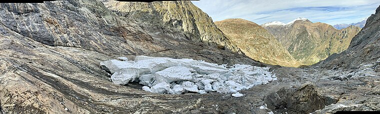
About Mapcarta. Data © OpenStreetMap contributors and available under the Open Database License". Text is available under the CC BY-SA 4.0 license, except for photos, directions, and the map. Photo: Samat, CC BY-SA 3.0.