Gimnaziul Gura Camencii
Gimnaziul Gura Camencii is a school in Floreşti, Moldova. Gimnaziul Gura Camencii is situated nearby to the pitch Teren de fotbal, as well as near the church Biserica.| Tap on a place to explore it |
Places in the Area
Nearby places include Ghindești and Vărvăreuca.
Ghindești
Town
Ghindești is a city in Moldova. It is situated in Florești District in north eastern part of the country. Spread across an area of 3.690 km2, the town had a population of 1,649 inhabitants in 2014. Ghindești is situated 4 km southeast of Gimnaziul Gura Camencii.
Vărvăreuca
Village
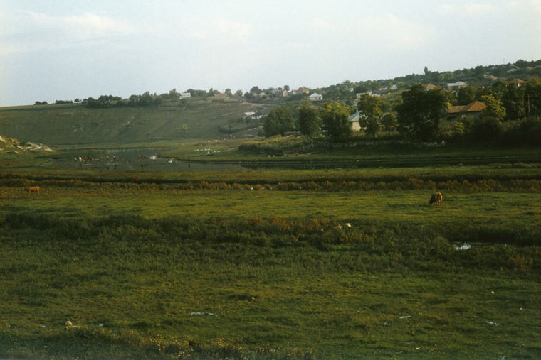
Photo: Ion Chibzii, CC BY-SA 2.0.
Vărvăreuca is a village, which is situated 4 km west of Gimnaziul Gura Camencii.
Florești
Town

Photo: Avereanu, CC BY-SA 3.0.
Florești is the capital city and industrial and commercial center of Floreşti District of Moldova. It is located on the river Răut. Florești is situated 4½ km west of Gimnaziul Gura Camencii.
Gimnaziul Gura Camencii
Latitude
47.8939° or 47° 53′ 38″ northLongitude
28.36193° or 28° 21′ 43″ eastOpen location code
8GVCV9V6+HQOpenStreetMap ID
node 6530299189OpenStreetMap feature
amenity=school
This page is based on OpenStreetMap, Wikidata, and Wikimedia Commons.
We’d love your help improving our open data sources. Thank you for contributing.
Satellite Map
Discover Gimnaziul Gura Camencii from above in high-definition satellite imagery.
In Other Languages
From Russian to Ukrainian—“Gimnaziul Gura Camencii” goes by many names.
- Russian: “Гимназий Гура Каменчи”
- Ukrainian: “Гімназій Гура Каменчі”
Notable Places Nearby
Highlights include Teren de fotbal and Biserica.
Nearby Places
Explore places such as Gimnaziul Gura Camencii and Lukoil.
Moldova: Must-Visit Destinations
Delve into Transnistria, Chișinău, Tiraspol, and Bălţi.
Curious Places to Discover
Uncover intriguing places from every corner of the globe.
About Mapcarta. Data © OpenStreetMap contributors and available under the Open Database License". Text is available under the CC BY-SA 4.0 license, except for photos, directions, and the map. Photo: USAID Digital Development, CC BY 2.0.