Caribe Nightclub
Caribe Nightclub is a nightclub in Hempstead, Nassau County, New York which is located on Clinton Street. Caribe Nightclub is situated nearby to St Stephen’s Knanya Catholic Church, as well as near Brierley Park.| Tap on a place to explore it |
Places of Interest Nearby
Highlights include Rosa Parks Hempstead Transit Center and Country Life Press station.
Rosa Parks Hempstead Transit Center
Railway station

Photo: Pacific Coast Highway, Public domain.
The Rosa Parks Hempstead Transit Center is an intermodal center and transportation hub in Hempstead, New York. It contains the Nassau Inter-County Express bus system's indoor customer facility between Jackson and West Columbia Streets – as well as the terminus for the Hempstead Branch of the Long Island Rail Road, located right across West Columbia Street from the bus terminal. Rosa Parks Hempstead Transit Center is situated 2,800 feet southwest of Caribe Nightclub.
Country Life Press station
Railway station

Photo: Adam Moss, CC BY-SA 2.0.
The Country Life Press station is a station on the Long Island Rail Road within the village of Garden City, New York. It serves trains on the Hempstead Branch and is located on Damson Street and St. James Street South. Country Life Press station is situated 2,500 feet west of Caribe Nightclub.
African American Museum
Museum
The "Joysetta and Julius Pearse African American Museum of Nassau County" was renamed on 18 May 2021 for its long-time Directors. African American Museum also known as the African American Museum of Nassau County, which opened in 1970, is dedicated to showcasing local and national African American artists. African American Museum is situated 4,000 feet southwest of Caribe Nightclub.
Places in the Area
Nearby places include Hempstead and Garden City.
Hempstead
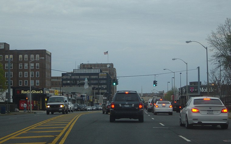
Photo: Sullynyflhi, CC BY-SA 3.0.
Hempstead Village is the downtown area of Hempstead, in Nassau County, New York. It is an urban-scale downtown area, home to the town’s offices and its largest commercial and employment area.
Garden City

Photo: Jim.henderson, CC BY 3.0.
Garden City is a large area in the heart of Nassau County, on Long Island, in New York, consisting of the Village of Garden City, the Village of Stewart Manor, and three hamlets: East Garden City, Garden City Park, and Garden City South.
East Garden City
Quarter
East Garden City is a hamlet and former census-designated place, located within the CDP of Uniondale, in the northeastern part of the Town of Hempstead, in the Hempstead Plains region of Nassau County, on Long Island, in New York, United States, along the Hempstead/North Hempstead town line.
Caribe Nightclub
- Type: Nightclub
- Address: 433 Clinton Street, Hempstead, NY 11550
- Location: Hempstead, Nassau County, New York, Mid-Atlantic, United States, North America
- View on OpenStreetMap
Latitude
40.71926° or 40° 43′ 9″ northLongitude
-73.62092° or 73° 37′ 15″ westOpen location code
87G8P99H+PJOpenStreetMap ID
node 6561516821OpenStreetMap feature
amenity=nightclub
This page is based on OpenStreetMap, Wikidata, and Wikimedia Commons.
We’d love your help improving our open data sources. Thank you for contributing.
Satellite Map
Discover Caribe Nightclub from above in high-definition satellite imagery.
Notable Places Nearby
Highlights include St Stephen’s Knanya Catholic Church and Brierley Park.
Nearby Places
Explore places such as Bakery El Monte Sinai Deli and Love Dominican.
Hempstead: Must-Visit Destinations
Delve into Rockville Centre, Merrick, and Hempstead.
Curious Nightclubs to Discover
Uncover intriguing nightclubs from every corner of the globe.
About Mapcarta. Data © OpenStreetMap contributors and available under the Open Database License". Text is available under the CC BY-SA 4.0 license, except for photos, directions, and the map. Photo: Jmabel, CC BY-SA 3.0.