Søren Bager
Søren Bager is a bakery in Lyngby-Taarbæk Municipality, Capital Region. Søren Bager is situated nearby to the railway stop Virum railway station, as well as near the health club LOOP Fitness.| Tap on a place to explore it |
Places of Interest Nearby
Highlights include Virum railway station and Virum Church.
Virum railway station
Railway stop

Photo: Dannebrog Spy, CC BY-SA 4.0.
Virum station is a railway station serving the suburban neighbourhood of Virum north of Kongens Lyngby north of Copenhagen, Denmark. It is located on the Hillerød radial of Copenhagen's S-train network. The station is served by E trains. Virum railway station is situated 120 metres northeast of Søren Bager.
Virum Church
Church

Photo: Wikimedia, CC BY-SA 2.5.
Virum Church is situated 530 metres west of Søren Bager.
Holte railway station
Railway station
Holte station is a railway station serving the suburb of Holte north of Copenhagen, Denmark. It is served by S-trains on the Hillerød radial of Copenhagen's S-train network. Holte railway station is situated 1¼ km north of Søren Bager.
Places in the Area
Nearby places include Virum and Sorgenfri.
Virum
Suburb
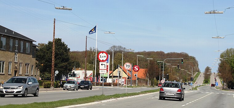
Photo: Bjoertvedt, CC BY-SA 3.0.
Virum is a mostly residential, suburban neighbourhood in Lyngby-Taarbæk Municipality, located on both sides of Lyngby Kongevej, approximately 15 km north of central Copenhagen, Denmark.
Sorgenfri
Suburb
Sorgenfri is a neighbourhood in Lyngby-Taarbæk Municipality in Greater Copenhagen lying just north of Kongens Lyngby. The neighbourhood is enclosed between the landmarks of a forest with Lyngby Åmose, Mølleådalen and Spurveskjulskoven in the south, the Furesø Lake in the west and the parklands of Sorgenfri Palace and the Open Air Museum in the east.
Brede
Suburb
Brede is a neighbourhood 14 km north of Copenhagen, Denmark. It is located east of Virum, south of Ørholm, west of Lundtofte and north of Sorgenfri. Frilandsmuseet, and the heritage-listed former industrial complex Brede Works, are located in Brede.
Søren Bager
- Type: Bakery
- Categories: shop and food
- Location: Lyngby-Taarbæk Municipality, Capital Region, Denmark, Nordic countries, Europe
- View on OpenStreetMap
Latitude
55.79556° or 55° 47′ 44″ northLongitude
12.47138° or 12° 28′ 17″ eastBranch
VirumBrand
Søren BagerOpen location code
9F7JQFWC+6HOpenStreetMap ID
node 6578072611OpenStreetMap feature
shop=bakery
This page is based on OpenStreetMap, Wikidata, and Wikimedia Commons.
We’d love your help improving our open data sources. Thank you for contributing.
Satellite Map
Discover Søren Bager from above in high-definition satellite imagery.
Places with the Same Name
Discover other places named “Søren Bager”.
Notable Places Nearby
Highlights include LOOP Fitness and Virum-Sorgenfri Cykler.
Nearby Places
Explore places such as Madbutikken and Nybolig Virum.
Denmark: Must-Visit Destinations
Delve into Copenhagen, Aarhus, Odense, and Aalborg.
Curious Bakeries to Discover
Uncover intriguing bakeries from every corner of the globe.
About Mapcarta. Data © OpenStreetMap contributors and available under the Open Database License". Text is available under the CC BY-SA 4.0 license, except for photos, directions, and the map. Photo: Wikimedia, CC BY-SA 3.0.