Klimzüge
Klimzüge is an outdoor gym in Zurich, Canton of Zurich. Klimzüge is situated nearby to the peak Entlisberg, as well as near the outdoor gym Geschicklichkeit und Kraft.| Tap on a place to explore it |
Places of Interest Nearby
Highlights include Zurich Leimbach railway station and Maria Hilf.
Zurich Leimbach railway station
Railway station

Photo: NAC, CC BY-SA 4.0.
Zürich Leimbach is a railway station in the south-west of the Swiss city of Zurich, in the Leimbach quarter. It is located within fare zone 110 of the Zürcher Verkehrsverbund. Zurich Leimbach railway station is situated 450 metres northwest of Klimzüge.
Maria Hilf
Church

Photo: Charly Bernasconi, CC BY-SA 3.0.
Maria Hilf is a church, which is situated 480 metres northwest of Klimzüge.
Kirche Leimbach
Church

Photo: Michael D. Schmid, CC BY-SA 3.0.
Kirche Leimbach is a church, which is situated 540 metres northwest of Klimzüge.
Places in the Area
Nearby places include Leimbach and Wollishofen.
Leimbach
Suburb

Photo: Roland zh, CC BY-SA 3.0.
Leimbach is a quarter in the district 2 in Zürich. It is located in the lower Sihl Valley. It was formerly a municipality of its own, having been incorporated into Zürich in 1893.
Wollishofen
Suburb
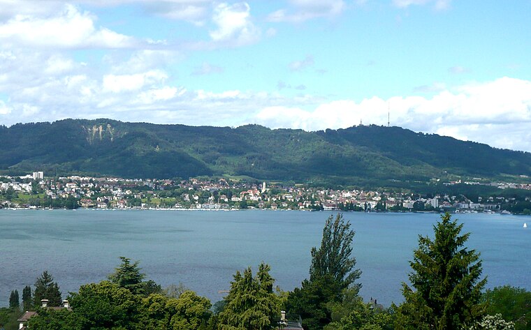
Photo: Parpan05, CC BY-SA 3.0.
Wollishofen is a neighbourhood in Zürich's 2nd district, situated in the eastern foothills of Uetliberg. It was formerly a municipality of its own, having been incorporated into Zürich in 1893.
Adliswil
Town
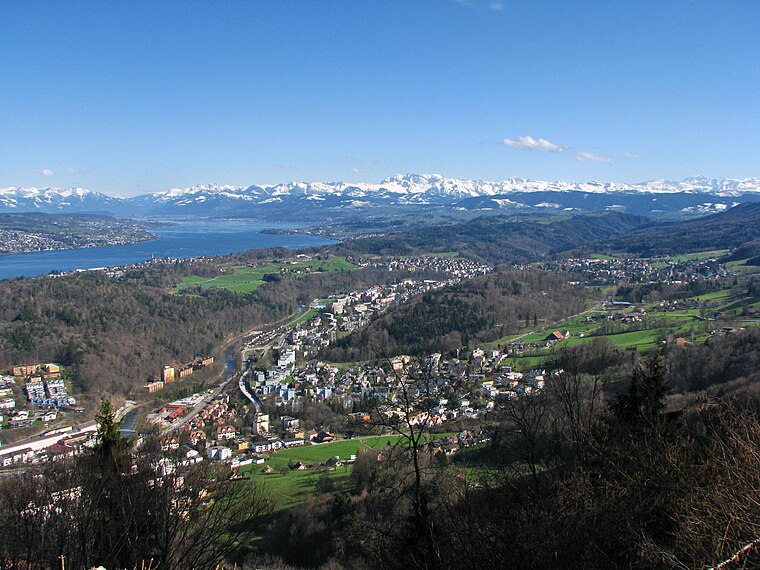
Photo: Roland zh, CC BY-SA 3.0.
Adliswil is a town and a municipality in the district of Horgen in the canton of Zürich in Switzerland. The official language of Adliswil is German, but the main spoken language is the local variant of the Alemannic Swiss German dialect.
Klimzüge
- Type: Outdoor gym
- Categories: gym, recreation area, and sports location
- Location: Zurich, Zürich District, Canton of Zurich, Zurich, Switzerland, Central Europe, Europe
- View on OpenStreetMap
Latitude
47.32941° or 47° 19′ 46″ northLongitude
8.52129° or 8° 31′ 17″ eastOperator
Grün Stadt ZürichOpen location code
8FVC8GHC+QGOpenStreetMap ID
node 6578162556OpenStreetMap feature
leisure=fitness_stationOpenStreetMap feature
sport=fitness
This page is based on OpenStreetMap, Wikidata, and Wikimedia Commons.
We’d love your help improving our open data sources. Thank you for contributing.
Satellite Map
Discover Klimzüge from above in high-definition satellite imagery.
Notable Places Nearby
Highlights include Entlisberg and Geschicklichkeit und Kraft.
Nearby Places
Explore places such as BP Service Leimbach and Wild Bean Cafe.
Zurich: Must-Visit Destinations
Delve into Winterthur, Aarau, Zug, and Zurich Airport.
Curious Outdoor Gyms to Discover
Uncover intriguing outdoor gyms from every corner of the globe.
About Mapcarta. Data © OpenStreetMap contributors and available under the Open Database License". Text is available under the CC BY-SA 4.0 license, except for photos, directions, and the map. Photo: ויקיג’אנקי, CC BY-SA 4.0.