Hauptertäli
Hauptertäli is an aerial lift in Arosa, Plessur, Graubünden. Hauptertäli is situated nearby to the peak Schiahorn, as well as near Hauter Hora.| Tap on a place to explore it |
Places of Interest Nearby
Highlights include Schiahorn and Weissfluh.
Schiahorn
Peak

Photo: Minnou, CC BY-SA 3.0.
The Schiahorn is a mountain of the Plessur Alps, overlooking Davos in the canton of Graubünden. The Schiahorn is located just east of the Strela Pass, where the summit normal route starts.
Weissfluh
Peak

Photo: Capricorn4049, CC BY-SA 3.0.
The Weissfluh is a mountain of the Plessur Alps, located above Davos in the canton of Graubünden. It is part of a ski area and the summit is served by a cable car from the Weissfluhjoch.
Weissfluhjoch
Peak

Photo: Capricorn4049, CC BY-SA 4.0.
The Weissfluhjoch is a summit southeast of the Weissfluh situated in the Plessur Range in Graubünden, Switzerland. Since 1932, a funicular railway leads to its summit from Davos.
Places in the Area
Nearby places include Davos and Davos Platz.
Davos

Photo: Flyout, CC BY-SA 3.0.
Davos is a winter and summer resort village located in the heart of the Graubünden in the east of Switzerland. In the early 1990s, Davos became famous for hosting the World Economic Forum, an annual winter gathering of international politicians and financiers who represented a transnational elite.
Davos Platz
Suburb

Photo: MadGeographer, CC BY-SA 3.0.
Davos is an Alpine resort town and municipality in the Prättigau/Davos Region in the canton of the Grisons, Switzerland. It has a permanent population of 10,832. Davos Platz is situated 4 km southeast of Hauptertäli.
Strassberg
Hamlet
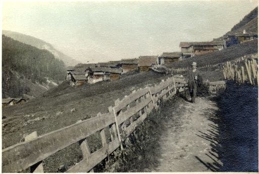
Photo: Wikimedia, Public domain.
Strassberg is a hamlet, which is situated 4½ km northwest of Hauptertäli.
Hauptertäli
- Type: Aerial lift
- Categories: station and transportation
- Location: Arosa, Plessur, Graubünden, Switzerland, Central Europe, Europe
- View on OpenStreetMap
Latitude
46.82517° or 46° 49′ 31″ northLongitude
9.80115° or 9° 48′ 4″ eastOpen location code
8FRFRRG2+3FOpenStreetMap ID
node 658524654OpenStreetMap feature
aerialway=stationOpenStreetMap feature
public_transport=station
This page is based on OpenStreetMap, Wikidata, and Wikimedia Commons.
We’d love your help improving our open data sources. Thank you for contributing.
Satellite Map
Discover Hauptertäli from above in high-definition satellite imagery.
Notable Places Nearby
Highlights include Hauter Hora and Weissfluhjoch.
Nearby Places
Explore places such as Weissfluhjoch (Parsenn Sessel) and Schiahorn.
Graubünden: Must-Visit Destinations
Delve into Davos, Chur, St. Moritz, and Klosters.
Curious Aerial Lifts to Discover
Uncover intriguing aerial lifts from every corner of the globe.
About Mapcarta. Data © OpenStreetMap contributors and available under the Open Database License". Text is available under the CC BY-SA 4.0 license, except for photos, directions, and the map. Photo: Martingarten, CC BY-SA 3.0.