Cascade de Brisecou
Cascade de Brisecou is a waterfall in Autun, Saône-et-Loire, Bourgogne-Franche-Comté. Cascade de Brisecou is situated nearby to the recreation area Table Picnic, as well as near the spring Source de la bergerie de Montmain.| Tap on a place to explore it |
Places of Interest Nearby
Highlights include Pyramid of Couhard and Église Saint-Léger de Couhard.
Pyramid of Couhard

Photo: Wikimedia, CC BY-SA 3.0.
Pyramid of Couhard is situated 1 km northwest of Cascade de Brisecou.
Église Saint-Léger de Couhard
Church

Photo: GFreihalter, CC BY-SA 4.0.
Église Saint-Léger de Couhard is a church, which is situated 720 metres northwest of Cascade de Brisecou.
Autun Cathedral
Church

Photo: Kokin, Public domain.
The Cathedral of Saint Lazarus of Autun, commonly known as Autun Cathedral, is a Roman Catholic cathedral in Autun and a national monument of France. Famous for its Cluniac inspiration and its Romanesque sculptures by Gislebertus, it is a highlight of Romanesque art in Burgundy. Autun Cathedral is situated 2 km northwest of Cascade de Brisecou.
Places in the Area
Nearby places include Auxy and Curgy.
Auxy
Village

Photo: Ksnow, CC BY-SA 4.0.
Auxy is a commune in the Saône-et-Loire department in the region of Bourgogne-Franche-Comté in eastern France. Auxy is situated 6 km east of Cascade de Brisecou.
Curgy
Village
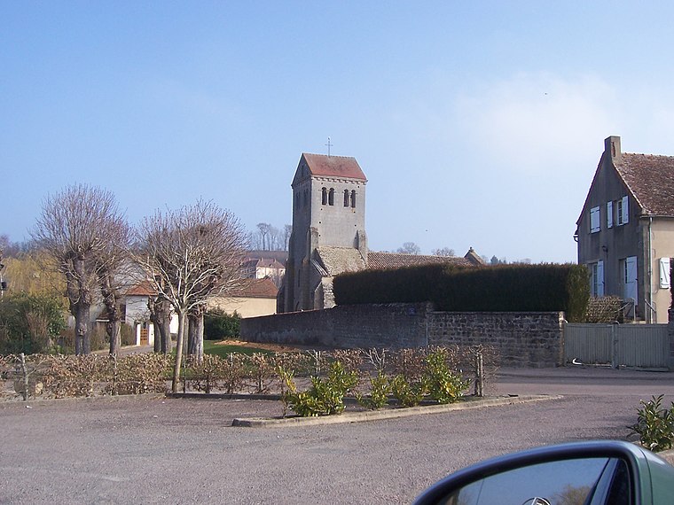
Photo: Ksnow, CC BY-SA 4.0.
Curgy is a commune in the Saône-et-Loire department in the region of Bourgogne-Franche-Comté in eastern France. Curgy is situated 7 km northeast of Cascade de Brisecou.
Monthelon
Village

Photo: Ksnow, CC BY-SA 4.0.
Monthelon is a commune in the Saône-et-Loire department in the region of Bourgogne-Franche-Comté in eastern France. It is located just west of Autun. Monthelon is situated 8 km west of Cascade de Brisecou.
Cascade de Brisecou
- Type: Waterfall
- Categories: tourism, tourist attraction, and body of water
- Location: Autun, Arrondissement of Autun, Saône-et-Loire, Bourgogne-Franche-Comté, France, Europe
- View on OpenStreetMap
Latitude
46.93713° or 46° 56′ 14″ northLongitude
4.31991° or 4° 19′ 12″ eastOpen location code
8FR6W8P9+VXOpenStreetMap ID
node 6588453605OpenStreetMap feature
tourism=attractionOpenStreetMap feature
waterway=waterfall
This page is based on OpenStreetMap, Wikidata, and Wikimedia Commons.
We’d love your help improving our open data sources. Thank you for contributing.
Satellite Map
Discover Cascade de Brisecou from above in high-definition satellite imagery.
Notable Places Nearby
Highlights include Table Picnic and Source de la bergerie de Montmain.
Nearby Places
Explore places such as Bergerie de Montmain and Filhouse.
Saône-et-Loire: Must-Visit Destinations
Delve into Mâcon, Paray-le-Monial, and Taizé Community.
Curious Waterfalls to Discover
Uncover intriguing waterfalls from every corner of the globe.
About Mapcarta. Data © OpenStreetMap contributors and available under the Open Database License". Text is available under the CC BY-SA 4.0 license, except for photos, directions, and the map. Photo: Annekoelewijn, CC BY-SA 2.5.