Kaysville Fire Station
Kaysville Fire Station is a fire station in Davis, Utah. Kaysville Fire Station is situated nearby to the town hall Kaysville City Hall, as well as near The Church of Jesus Christ of Latter Day Saints.| Tap on a place to explore it |
Places of Interest Nearby
Highlights include Layton Utah Temple and Layton station.
Layton Utah Temple
Church

Photo: Bobjgalindo, CC BY-SA 4.0.
The Layton Utah Temple is a temple of the Church of Jesus Christ of Latter-day Saints in Layton, Utah. The intent to construct the temple was announced by church president Russell M. Layton Utah Temple is situated 2 miles north of Kaysville Fire Station.
Layton station
Railway station

Photo: Ntsimp, Public domain.
Layton Station is a FrontRunner commuter rail station in Layton, Utah. It is operated by the Utah Transit Authority. Layton station is situated 2 miles northwest of Kaysville Fire Station.
Layton High School
School
Layton High School is a secondary school located in Layton, Utah, United States. Part of the Davis School District, Layton High School educates students in grades 10 to 12. Layton High School is situated 2½ miles northwest of Kaysville Fire Station.
Places in the Area
Nearby places include Kaysville and Fruit Heights.
Kaysville
Town

Photo: Ntsimp, Public domain.
Kaysville is a city in Davis County, Utah. It is part of the Ogden–Clearfield metropolitan area. The population was 32,945 at the time of the 2020 census.
Fruit Heights
Village
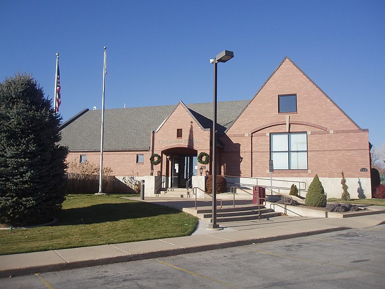
Photo: Ntsimp, Public domain.
Fruit Heights is a city in eastern Davis County, Utah, United States. It is part of the Ogden–Clearfield, Utah Metropolitan Statistical Area. It lies along the Wasatch Front adjacent to the larger cities of Farmington and Kaysville. Fruit Heights is situated 2 miles east of Kaysville Fire Station.
Farmington
 Farmington is a city in and the county seat of Davis County, Utah, United States. The population was 24,531 at the 2020 census. The Lagoon Amusement Park and Station Park transit-oriented retail center are located in Farmington.
Kaysville Fire Station
- Type: Fire station
- Location: Davis, Utah, Southwest, United States, North America
- View on OpenStreetMap
Latitude
41.03257° or 41° 1′ 57″ northLongitude
-111.9367° or 111° 56′ 12″ westOpen location code
85HC23M7+28OpenStreetMap ID
node 658965239OpenStreetMap feature
amenity=fire_station
This page is based on OpenStreetMap, Wikidata, and Wikimedia Commons.
We’d love your help improving our open data sources. Thank you for contributing.
Satellite Map
Discover Kaysville Fire Station from above in high-definition satellite imagery.
Notable Places Nearby
Highlights include Kaysville City Hall and The Church of Jesus Christ of Latter Day Saints.
Nearby Places
Explore places such as Main St @ 175 S and 100 S @ 62 E.
Utah: Must-Visit Destinations
Delve into Salt Lake City, Provo, Bryce Canyon National Park, and West Valley City.
Curious Fire Stations to Discover
Uncover intriguing fire stations from every corner of the globe.
About Mapcarta. Data © OpenStreetMap contributors and available under the Open Database License". Text is available under the CC BY-SA 4.0 license, except for photos, directions, and the map. Photo: Chmehl, CC BY 2.5.