Dakota
Dakota is a town in Aruba. Dakota is situated nearby to the neighborhood Sabana Blanco, as well as near Oranjestad.| Tap on a place to explore it |
Places of Interest
Highlights include Trinidad Stadium and Queen Beatrix International Airport.
Trinidad Stadium
Pitch

Photo: Xrevbc, CC BY-SA 4.0.
Guillermo Prospero Trinidad Stadium, is a multi-purpose stadium in Oranjestad, Aruba. It is Aruba's national football stadium, named after Guillermo Trinidad, a politician from the same neighbourhood.
Queen Beatrix International Airport
Aerodrome

Photo: Wikimedia, Public domain.
Queen Beatrix International Airport is an international airport located in the Dutch Caribbean island of Aruba. It has flight services to the United States, Canada, several countries in the Caribbean, the northern coastal countries of South America, as well as some parts of Europe, notably the Netherlands.
Aruba National Library
Library
 The National Library of Aruba is the main library of Aruba. It is located in Oranjestad and holds more than 100,000 volumes. BNA serves as both the national and the public library of Aruba.
Places in the Area
Nearby places include Oranjestad and Rancho.
Oranjestad

Photo: ויקיג’אנקי, CC BY-SA 3.0.
Oranjestad is the capital and largest city of Aruba. The city is home to some of the island's local residents and also many governmental buildings. Along the main "drag" you will find mostly tourist walking around and shopping and can also see the cruise ships that bring more and more external tourism into the island everyday.
Rancho
Neighborhood
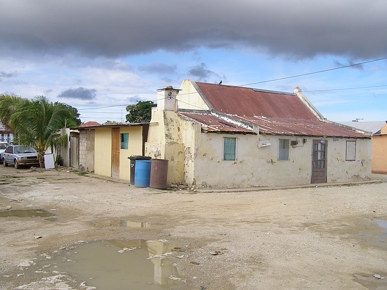
Photo: Celeivrolijk, CC BY-SA 3.0.
Rancho, located near Paardenbaai, is one of the old districts of Oranjestad, the capital of Aruba. Originally a fishing village, Rancho has evolved into a neighbourhood of Oranjestad.
Paradera
Village

Photo: Ginafromaruba, CC BY-SA 3.0.
Paradera is a small town and a census region in the central-northeastern part of Aruba. The census region Paradera encompasses the town of Paradera as well as nearby settlements and neighborhoods within Paradera, including Ayo, Bloemond, Piedra Plat, and Shiribana. Paradera is situated 3 km northeast of Dakota.
Dakota
- Type: Town
- Category: locality
- Location: Aruba, Caribbean, North America
- View on OpenStreetMap
Latitude
12.51432° or 12° 30′ 52″ northLongitude
-70.02128° or 70° 1′ 17″ westOpen location code
774FGX7H+PFOpenStreetMap ID
node 6596602233OpenStreetMap feature
place=town
This page is based on OpenStreetMap, Wikidata, and Wikimedia Commons.
We’d love your help improving our open data sources. Thank you for contributing.
Satellite Map
Discover Dakota from above in high-definition satellite imagery.
Places with the Same Name
Discover other places named “Dakota”.
Localities in the Area
Explore places such as Sabana Blanco and Oranjestad.
Notable Places Nearby
Highlights include Virgin of Fatima and YMCA.
Aruba: Must-Visit Destinations
Delve into Oranjestad, Arikok National Park, Noord, and Palm Beach.
Curious Towns to Discover
Uncover intriguing towns from every corner of the globe.
About Mapcarta. Data © OpenStreetMap contributors and available under the Open Database License". Text is available under the CC BY-SA 4.0 license, except for photos, directions, and the map. Photo: Serge Melki, CC BY 2.0.