Rathmines Road Upper
Rathmines Road Upper is a bus stop in Dublin, Leinster. Rathmines Road Upper is situated nearby to the theater building Rathmines & Rathgar Musical Society, as well as near the government office Rathmines Health Centre.| Tap on a place to explore it |
Places of Interest Nearby
Highlights include Mount Pleasant Square and Mary Immaculate, Refuge of Sinners Church.
Mount Pleasant Square
Park
Mount Pleasant Square is a Georgian garden square on the border of Rathmines and Ranelagh, in the city of Dublin, Ireland. It is about a twenty-five minute walk from Grafton Street. Mount Pleasant Square is situated 1 km northeast of Rathmines Road Upper.
Mary Immaculate, Refuge of Sinners Church
Church

Photo: Tukka, CC BY-SA 4.0.
Mary Immaculate, Refuge of Sinners is a Roman Catholic church in Rathmines, Dublin built in 1854 in the "Greek style". The church was originally designed by Patrick Byrne and later extended by William Henry Byrne who added a portico and pediment. Mary Immaculate, Refuge of Sinners Church is situated 1 km north of Rathmines Road Upper.
Irish Jewish Museum
Museum
The Irish Jewish Museum is a small museum located in the once highly Jewish populated area of Portobello, around the South Circular Road, Dublin, dedicated to the history of the Irish Jewish community. Irish Jewish Museum is situated 1¼ km north of Rathmines Road Upper.
Places in the Area
Nearby places include Rathmines and Ranelagh.
Rathmines
Suburb
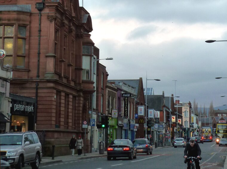
Photo: Hohenloh, CC BY-SA 3.0.
Rathmines is an inner suburb on the Southside of Dublin in Ireland. It begins at the southern side of the Grand Canal and stretches along the Rathmines Road as far as Rathgar to the south, Ranelagh to the east, and Harold's Cross to the west.
Ranelagh
Suburb

Photo: Cqui, CC BY-SA 3.0.
Ranelagh is an affluent residential area and urban village on the Southside of Dublin, Ireland in the postal district of Dublin 6. Ranelagh was originally a village called Cullenswood.
Rathgar
Suburb

Photo: 瑞丽江的河水, CC BY-SA 4.0.
Rathgar is a suburb of Dublin, Ireland. Originally a village, which from 1862 was part of the township of Rathmines and Rathgar, it was absorbed by the growing city and became a suburb in 1930. It lies about three kilometres south of the city centre.
Rathmines Road Upper
- Type: Bus stop
- Wheelchair access: yes
- Category: transportation
- Location: Dublin, Leinster, Ireland, Britain and Ireland, Europe
- View on OpenStreetMap
Latitude
53.32011° or 53° 19′ 12″ northLongitude
-6.26492° or 6° 15′ 54″ westOperator
Dublin BusNetwork
National Transport AuthorityOpen location code
9C5M8PCP+22OpenStreetMap ID
node 660201302OpenStreetMap feature
highway=bus_stopOpenStreetMap feature
public_transport=platformOpenStreetMap attribute
wheelchair=yes
This page is based on OpenStreetMap, Wikidata, and Wikimedia Commons.
We’d love your help improving our open data sources. Thank you for contributing.
Satellite Map
Discover Rathmines Road Upper from above in high-definition satellite imagery.
Places with the Same Name
Discover other places named “Rathmines Road Upper”.
Notable Places Nearby
Highlights include Rathmines & Rathgar Musical Society and Rathmines Health Centre.
Nearby Places
Explore places such as 1-2-1 Flooring and Biking Dirty.
Ireland: Must-Visit Destinations
Delve into Cork, Limerick, Galway, and Waterford.
Curious Bus Stops to Discover
Uncover intriguing bus stops from every corner of the globe.
About Mapcarta. Data © OpenStreetMap contributors and available under the Open Database License". Text is available under the CC BY-SA 4.0 license, except for photos, directions, and the map. Photo: Wikimedia, CC0.