Millenia dent
Millenia dent is a dental clinic in Kraków, Małopolskie which is located on Borkowska. Millenia dent is situated nearby to the community center Świetlica Amaltea, as well as near the library Biblioteka Kraków Filia 58.| Tap on a place to explore it |
- Opening hours:
Monday—Friday: 8:00 AM—8:00 PM
public holidays, Saturday, and Sunday: closed - Type: Dental clinic
- Address: Borkowska 25D/24, Kraków, 30-438
Places of Interest Nearby
Highlights include Fort 52 ‘Borek’ and Fort 52a Łapianka.
Fort 52 ‘Borek’
Fort

Photo: Jakubhal, CC BY-SA 3.0.
Fort 52 ‘Borek’ is situated 340 metres south of Millenia dent.
Fort 52a Łapianka
Fort

Photo: Szporwolik, CC BY-SA 3.0.
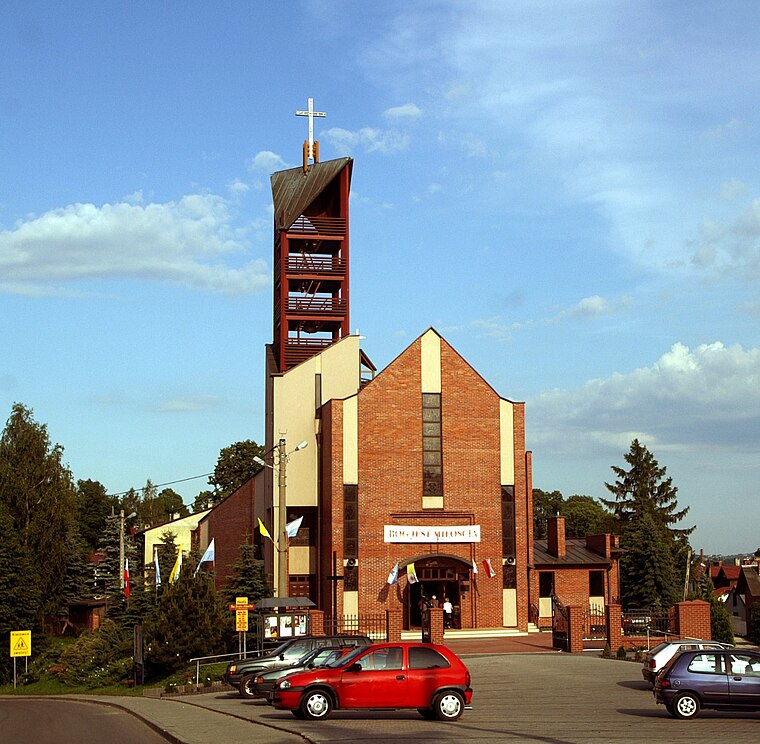
Kraków Fortress 52a, also called "Łapianka", was a part of the Kraków Fortress between 1896 and 1902. The fortress was built to enforce defense of the south flank of the fortress, ruling over the part of the road connecting Vienna and Lviv. Fort 52a Łapianka is situated 1¼ km southeast of Millenia dent.
Szpital Kliniczny im. doktora Józefa Babińskiego SP ZOZ
Hospital

Photo: Daniel.zolopa, CC BY-SA 3.0 pl.
Szpital Kliniczny im. doktora Józefa Babińskiego SP ZOZ is a hospital, which is situated 1½ km west of Millenia dent.
Places in the Area
Nearby places include Swoszowice and Osiedle Ruczaj-Zaborze.
Swoszowice
Suburb

Photo: Arielg, CC BY-SA 3.0.
Swoszowice is a suburb, which is situated 3 km southeast of Millenia dent.
Osiedle Ruczaj-Zaborze
Neighborhood
 Osiedle Ruczaj-Zaborze is a neighborhood, which is situated 3½ km north of Millenia dent.
Libertów
Village
 Libertów is a village in the administrative district of Gmina Mogilany, within Kraków County, Lesser Poland Voivodeship, in southern Poland. Libertów is situated 3½ km south of Millenia dent.
Millenia dent
- Category: health care
- Location: Kraków, Małopolskie, Poland, Central Europe, Europe
- View on OpenStreetMap
Latitude
50.00348° or 50° 0′ 13″ northLongitude
19.9034° or 19° 54′ 12″ eastOpen location code
9F2X2W33+99OpenStreetMap ID
node 6605286413OpenStreetMap feature
amenity=dentistOpenStreetMap feature
healthcare=dentist
This page is based on OpenStreetMap, Wikidata, and Wikimedia Commons.
We’d love your help improving our open data sources. Thank you for contributing.
Satellite Map
Discover Millenia dent from above in high-definition satellite imagery.
Notable Places Nearby
Highlights include Świetlica Amaltea and Biblioteka Kraków Filia 58.
Nearby Places
Explore places such as Millenia Fort and Centrum Medyczne 4M.
Kraków: Must-Visit Destinations
Delve into Old Town, Kazimierz, East Kraków, and South Kraków.
Curious Dental Clinics to Discover
Uncover intriguing dental clinics from every corner of the globe.
About Mapcarta. Data © OpenStreetMap contributors and available under the Open Database License". Text is available under the CC BY-SA 4.0 license, except for photos, directions, and the map. Photo: Taxiarchos228, CC BY 3.0.