Emilie Meyer
Emilie Meyer is a memorial in Bad Lippspringe, Paderborn, North Rhine-Westphalia. Emilie Meyer is situated nearby to the spring Liboriusquelle, as well as near Arminiusquelle.| Tap on a place to explore it |
Places of Interest Nearby
Highlights include Burg Lippspringe and Lippequelle.


Kongresshaus Bad Lippspringe
Public building
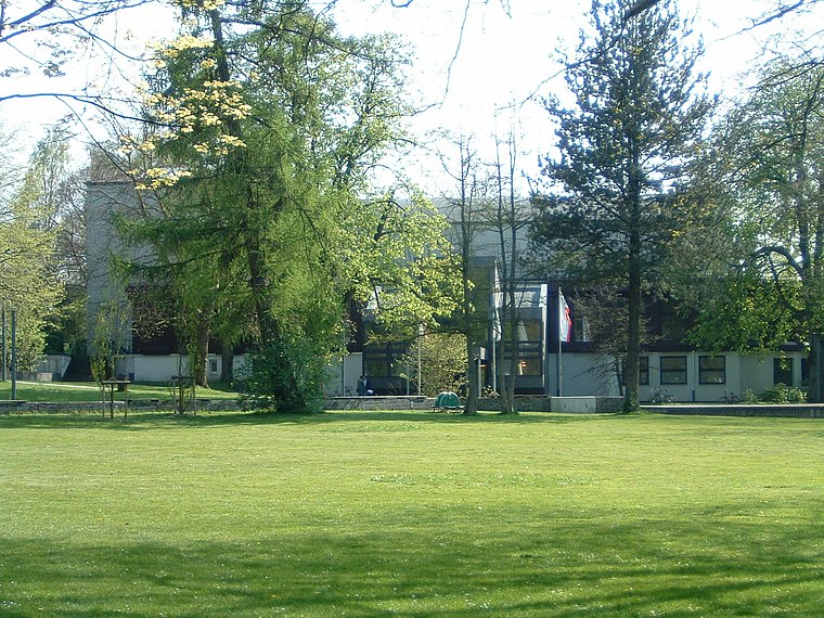 Kongresshaus Bad Lippspringe is a public building, which is situated 110 metres northeast of Emilie Meyer.
Places in the Area
Nearby places include Schlangen and Benhausen.
Schlangen
Village

Photo: Marcus 1969, CC BY 3.0.
Schlangen is a municipality in the Lippe district of North Rhine-Westphalia, Germany. Schlangen has about 9,000 inhabitants and enjoys relative prosperity. Schlangen is situated 3½ km northeast of Emilie Meyer.
Benhausen
Village

Photo: Philipp Sx86, CC BY-SA 3.0.
Benhausen is a village, which is situated 4½ km south of Emilie Meyer.
Neuenbeken
Village

Photo: Ludger1961, CC BY-SA 3.0.
Neuenbeken is a village, which is situated 4½ km southeast of Emilie Meyer.
Emilie Meyer
- Type: Memorial
- Category: historic site
- Location: Bad Lippspringe, Paderborn, Detmold, North Rhine-Westphalia, Germany, Central Europe, Europe
- View on OpenStreetMap
Latitude
51.781° or 51° 46′ 52″ northLongitude
8.82151° or 8° 49′ 17″ eastOpen location code
9F3CQRJC+9JOpenStreetMap ID
node 6609376905OpenStreetMap feature
historic=memorial
This page is based on OpenStreetMap, Wikidata, and Wikimedia Commons.
We’d love your help improving our open data sources. Thank you for contributing.
Satellite Map
Discover Emilie Meyer from above in high-definition satellite imagery.
Places with the Same Name
Discover other places named “Emilie Meyer”.
Notable Places Nearby
Highlights include Liboriusquelle and Arminiusquelle.
Nearby Places
Explore places such as Siegfried Meyer and Walter Meyer.
North Rhine-Westphalia: Must-Visit Destinations
Delve into Cologne, Düsseldorf, Bonn, and Dortmund.
Curious Memorials to Discover
Uncover intriguing memorials from every corner of the globe.
About Mapcarta. Data © OpenStreetMap contributors and available under the Open Database License". Text is available under the CC BY-SA 4.0 license, except for photos, directions, and the map. Photo: Daniel Schwen, CC BY-SA 2.5.