Reitinger Transporte
Reitinger Transporte is an office in Mitterkirchen im Machland, Perg District, Upper Austria. Reitinger Transporte is situated nearby to the fire station Freiwillige Feuerwehr Mitterkirchen, as well as near the post office 4343 Mitterkirchen.| Tap on a place to explore it |
Places of Interest Nearby
Highlights include Grüner Kapelle and Celtic Museum in Mitterkirchen im Machland.
Grüner Kapelle
Wayside shrine
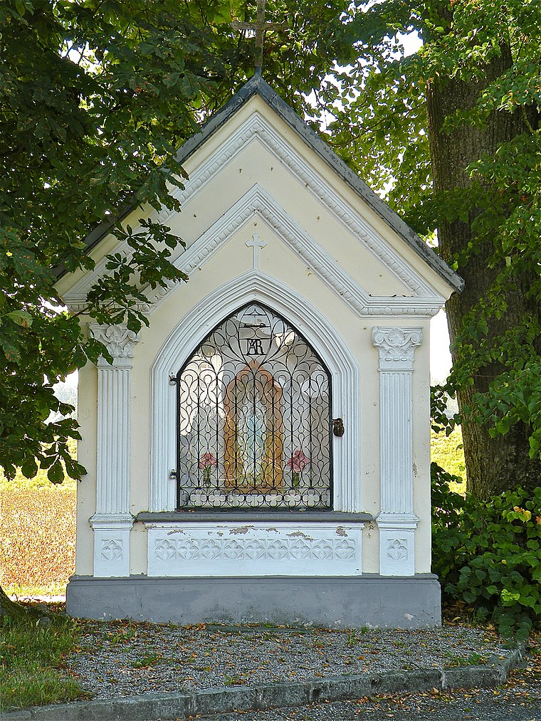
Photo: Pfeifferfranz, CC BY-SA 3.0 at.
Grüner Kapelle is a wayside shrine, which is situated 220 metres southwest of Reitinger Transporte.
Celtic Museum in Mitterkirchen im Machland
Museum

Photo: Anzi9, Public domain.
Celtic Museum in Mitterkirchen im Machland is situated 1½ km northeast of Reitinger Transporte.
Filialkirche hl. Anna Wallsee
Church

Photo: Bwag, CC BY-SA 4.0.
Filialkirche hl. Anna Wallsee is a church, which is situated 2 km south of Reitinger Transporte.
Places in the Area
Nearby places include Ruprechtshofen and Tobra.
Ruprechtshofen
Hamlet
 Ruprechtshofen is a hamlet, which is situated 4½ km west of Reitinger Transporte.

Sperken
Hamlet

Photo: Bwag, CC BY-SA 4.0.
Sperken is a hamlet, which is situated 6 km northeast of Reitinger Transporte.
Reitinger Transporte
- Email: office@reitinger-transporte.at
- Type: Business
- Category: office
- Location: Mitterkirchen im Machland, Perg District, Upper Austria, Austria, Central Europe, Europe
- View on OpenStreetMap
Latitude
48.18467° or 48° 11′ 5″ northLongitude
14.71191° or 14° 42′ 43″ eastOpen location code
8FWP5PM6+VQOpenStreetMap ID
node 6631201559OpenStreetMap feature
office=company
This page is based on OpenStreetMap, Wikidata, and Wikimedia Commons.
We’d love your help improving our open data sources. Thank you for contributing.
Satellite Map
Discover Reitinger Transporte from above in high-definition satellite imagery.
Notable Places Nearby
Highlights include Freiwillige Feuerwehr Mitterkirchen and 4343 Mitterkirchen.
Nearby Places
Explore places such as Kraglhof and Mitterkirchen im Machland Kirchenplatz.
Upper Austria: Must-Visit Destinations
Delve into Linz, Hallstatt, Wels, and Steyr.
Curious Places to Discover
Uncover intriguing places from every corner of the globe.
About Mapcarta. Data © OpenStreetMap contributors and available under the Open Database License". Text is available under the CC BY-SA 4.0 license, except for photos, directions, and the map. Photo: Traveler100, CC BY-SA 3.0.