Civic Offices
Civic Offices is a bus stop in Dublin, Leinster. Civic Offices is situated nearby to the work of art Wood Quay, as well as near the theater building Smock Alley Theatre.| Tap on a place to explore it |
Places of Interest Nearby
Highlights include Dublin Castle and Smock Alley Theatre.
Dublin Castle
Dublin Castle is a major Irish government complex, conference centre, and tourist attraction. It is located off Dame Street in central Dublin. Originally a motte-and-bailey castle chosen for its position at the highest point of central Dublin, it was mostly rebuilt, from the late 17th century onward, as a Georgian palace. Dublin Castle is situated 330 metres southeast of Civic Offices.Smock Alley Theatre
Theater building

Photo: Smirkybec, CC BY-SA 3.0.
Since the 17th century, there have been numerous theatres in Dublin with the name Smock Alley. The current Smock Alley Theatre is a 21st-century theatre in Dublin, converted from a 19th-century church building, incorporating structural material from an 18th-century theatre building, and built on the site of the 17th century Theatre Royal, Dublin.
Christ Church Cathedral
Church

Photo: Wikimedia, CC BY-SA 4.0.
Christ Church Cathedral, more formally The Cathedral of the Holy Trinity, is the cathedral of the United Dioceses of Dublin and Glendalough and the cathedral of the ecclesiastical province of the United Provinces of Dublin and Cashel in the Church of Ireland. Christ Church Cathedral is situated 220 metres southwest of Civic Offices.
Places in the Area
Nearby places include Temple Bar and Smithfield.
Temple Bar
Quarter
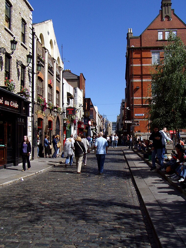
Photo: Wikimedia, Public domain.
Dublin is the capital city of Ireland. Its vibrancy, nightlife and tourist attractions are world renowned and it's the most popular entry point for international visitors to Ireland.
Smithfield
Quarter

Photo: Sheila1988, CC BY-SA 4.0.
Smithfield is an area on the Northside of Dublin, Ireland. Its focal point is a public square, formerly an open market and common, now officially called Smithfield Plaza, but known locally as Smithfield Square or Smithfield Market.
The Liberties
Suburb

Photo: Hohenloh, CC BY-SA 3.0.
The Liberties is an area in central Dublin, Ireland, located in the southwest of the inner city. Formed from various areas of special manorial jurisdiction, initially separate from the main city government, it is one of Dublin's most historic working class neighbourhoods.
Civic Offices
- Type: Bus stop
- Wheelchair access: yes
- Category: transportation
- Location: Dublin, Leinster, Ireland, Britain and Ireland, Europe
- View on OpenStreetMap
Latitude
53.34511° or 53° 20′ 42″ northLongitude
-6.26964° or 6° 16′ 11″ westOperator
Dublin BusNetwork
Dublin BusOpen location code
9C5M8PWJ+24OpenStreetMap ID
node 664499926OpenStreetMap feature
highway=bus_stopOpenStreetMap feature
public_transport=platformOpenStreetMap attribute
wheelchair=yes
This page is based on OpenStreetMap, Wikidata, and Wikimedia Commons.
We’d love your help improving our open data sources. Thank you for contributing.
Satellite Map
Discover Civic Offices from above in high-definition satellite imagery.
Places with the Same Name
Discover other places named “Civic Offices”.
Notable Places Nearby
Highlights include Wood Quay and Block 3.
Nearby Places
Explore places such as Báite (Viking Boat) and Reptile Haven.
Ireland: Must-Visit Destinations
Delve into Cork, Limerick, Galway, and Waterford.
Curious Bus Stops to Discover
Uncover intriguing bus stops from every corner of the globe.
About Mapcarta. Data © OpenStreetMap contributors and available under the Open Database License". Text is available under the CC BY-SA 4.0 license, except for photos, directions, and the map. Photo: Wikimedia, CC0.