Santa Eduviges
Santa Eduviges is a neighborhood in San José Province, Costa Rica. Santa Eduviges is situated nearby to the neighborhood Chirca, as well as near Perú.| Tap on a place to explore it |
Places of Interest
Highlights include Estadio Nicolás Macís and Hospital CIMA.

Hospital CIMA
Hospital
Hospital CIMA San Jose is a hospital in San José, Costa Rica. The hospital opened in 2000. Hospital CIMA is a tertiary level, acute care hospital. It has an installed capacity of 103 beds. Hospital CIMA is situated 3 km north of Santa Eduviges.
Colegio Humboldt
School
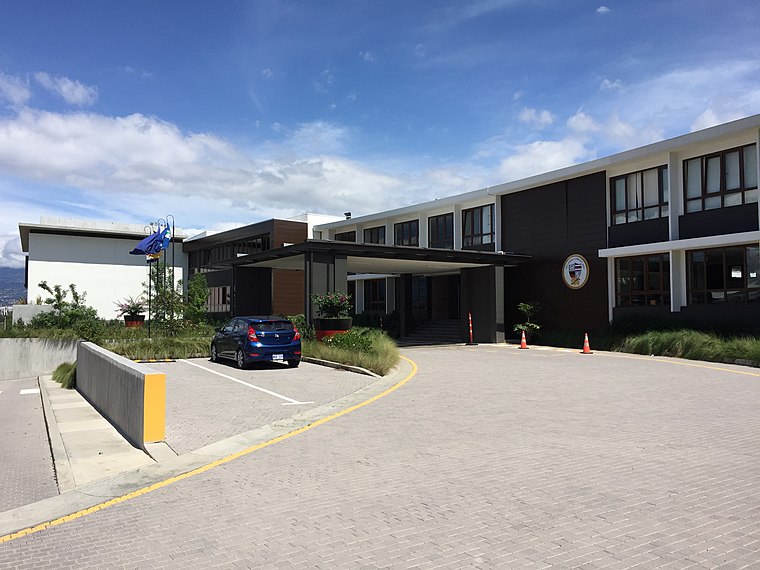
Photo: Najera.juan, CC BY-SA 4.0.
Colegio Humboldt is a German international school in Pavas, San José, Costa Rica, serving a student body that includes preschool through Abitur. The German School of Costa Rica was founded in 1912, initially only offering classes in kindergarten and primary school levels. Colegio Humboldt is situated 4 km northeast of Santa Eduviges.
Places in the Area
Nearby places include Escazú and San Antonio District, Escazú.
Escazú
Town

Photo: Armando Maynez, CC BY 2.0.
Escazú is a district of the Escazú canton, in the San José province of Costa Rica.
San Antonio District, Escazú
Village
San Antonio is a district of the Escazú canton, in the San José province of Costa Rica.
Hatillo
Village
Hatillo is the tenth district of the San José canton, in the San José province of Costa Rica. Hatillo is situated 4 km east of Santa Eduviges.
Santa Eduviges
- Type: Neighborhood
- Category: locality
- Location: San José Province, Costa Rica, Central America, North America
- View on OpenStreetMap
Latitude
9.91395° or 9° 54′ 50″ northLongitude
-84.14046° or 84° 8′ 26″ westOpen location code
66XQWV75+HROpenStreetMap ID
node 6647585097OpenStreetMap feature
place=neighbourhood
This page is based on OpenStreetMap, Wikidata, and Wikimedia Commons.
We’d love your help improving our open data sources. Thank you for contributing.
Satellite Map
Discover Santa Eduviges from above in high-definition satellite imagery.
Places with the Same Name
Discover other places named “Santa Eduviges”.
Localities in the Area
Explore places such as Chirca and Perú.
Notable Places Nearby
Highlights include Supervisión Escolar Circuito 03- San José Oeste and Plaza Deportes Escazú.
Costa Rica: Must-Visit Destinations
Delve into San José, Alajuela, Puerto Limón, and Liberia.
Curious Neighborhoods to Discover
Uncover intriguing neighborhoods from every corner of the globe.
About Mapcarta. Data © OpenStreetMap contributors and available under the Open Database License". Text is available under the CC BY-SA 4.0 license, except for photos, directions, and the map. Photo: Andy Rusch, CC BY 2.0.