Delta telep
Delta telep is a neighborhood in Veszprém County, Central Transdanubia. Delta telep is situated nearby to the village Zánka, as well as near the locality Temetői-dűlő.| Tap on a place to explore it |
Places of Interest
Highlights include Zánka-Köveskál railway station and Hegyestű.

Hegyestű
Peak

Photo: Chmee2, CC BY-SA 3.0.
Hegyestű is a peak, which is situated 3½ km northwest of Delta telep.
Places in the Area
Nearby places include Zánka and Monoszló.

Monoszló
Village
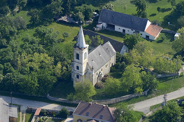
Photo: Civertan, CC BY-SA 4.0.
Monoszló is a village in Veszprém county, Hungary. Monoszló is situated 5 km northwest of Delta telep.
Dörgicse
Village

Photo: Szilas, Public domain.
Dörgicse is a village in Veszprém county, Hungary. It consists of three hamlets built on separate hills 4.3 km north of Lake Balaton. Dörgicse is famous for the wine production and its three medieval churches which were devastated during the Turkish wars in the 16th and 17th centuries. Dörgicse is situated 6 km northeast of Delta telep.
Delta telep
- Type: Neighborhood
- Category: locality
- Location: Veszprém County, Central Transdanubia, Hungary, Central Europe, Europe
- View on OpenStreetMap
Latitude
46.87011° or 46° 52′ 12″ northLongitude
17.68187° or 17° 40′ 55″ eastOpen location code
8FRVVMCJ+2POpenStreetMap ID
node 6689753637OpenStreetMap feature
place=neighbourhood
This page is based on OpenStreetMap, Wikidata, and Wikimedia Commons.
We’d love your help improving our open data sources. Thank you for contributing.
Satellite Map
Discover Delta telep from above in high-definition satellite imagery.
Localities in the Area
Explore places such as Temetői-dűlő and Vörös-föld.
Notable Places Nearby
Highlights include Zánka-Köveskál vasútállomás and Jó Pásztor-templom.
Veszprém County: Must-Visit Destinations
Delve into Veszprém, Pápa, Sümeg, and Várpalota.
Curious Neighborhoods to Discover
Uncover intriguing neighborhoods from every corner of the globe.
About Mapcarta. Data © OpenStreetMap contributors and available under the Open Database License". Text is available under the CC BY-SA 4.0 license, except for photos, directions, and the map. Photo: Wikimedia, CC0.