Cafetaria Dina
Cafetaria Dina is a café in Peniche, Leiria District which is located on Avenida Monsenhor Manuel Bastos Rodrigues de Sousa. Cafetaria Dina is situated nearby to the historic site Farolim de Peniche de Cima, as well as near the fishing area Pesqueiro Viveiros das Lagostas.| Tap on a place to explore it |
Places of Interest Nearby
Highlights include Church of Nossa Senhora da Ajuda and Antiga Cadeia Municipal e armazéns anexos.
Church of Nossa Senhora da Ajuda
Church

Photo: Threeohsix, CC BY-SA 4.0.
Church of Nossa Senhora da Ajuda is situated 410 metres west of Cafetaria Dina.
Antiga Cadeia Municipal e armazéns anexos
Prison

Photo: Threeohsix, CC BY-SA 4.0.
Antiga Cadeia Municipal e armazéns anexos is a prison, which is situated 1 km southwest of Cafetaria Dina.
Escola Industrial e Comercial de Peniche
School

Photo: Threeohsix, CC BY-SA 4.0.
Escola Industrial e Comercial de Peniche is a school, which is situated 520 metres west of Cafetaria Dina.
Places in the Area
Nearby places include Cabo Carvoeiro and Ferrel.
Cabo Carvoeiro
Locality
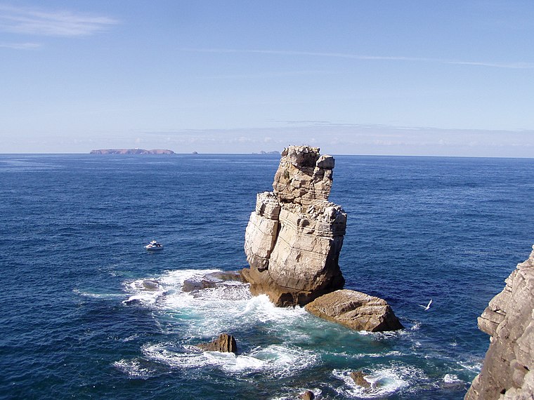
Photo: Tintazul, CC BY-SA 2.5.
Cabo Carvoeiro is cape which lies on the Atlantic coast, along the westernmost point of the Peniche Peninsula, in the civil parish of Peniche and the Oeste region. Cabo Carvoeiro is situated 3 km west of Cafetaria Dina.
Ferrel
Town
Ferrel is a seaside parish in Peniche, Portugal. The population in 2011 was 2,649, in an area of 13.79 km2. Ferrel is situated 5 km east of Cafetaria Dina.
Atouguia da Baleia
Village

Photo: Juntas, CC BY-SA 2.5.
Atouguia da Baleia is a parish in the municipality of Peniche, in Portugal. The population in 2011 was 8,954, in an area of 47.02 km2. The village of Atouguia da Baleia proper has almost 2,000 residents. Atouguia da Baleia is situated 5 km southeast of Cafetaria Dina.
Cafetaria Dina
- Type: Café
- Address: Avenida Monsenhor Manuel Bastos Rodrigues de Sousa, Peniche
- Location: Peniche, Leiria District, Portugal, Iberia, Europe
- View on OpenStreetMap
Latitude
39.3641° or 39° 21′ 51″ northLongitude
-9.37351° or 9° 22′ 25″ westOpen location code
8CFG9J7G+JHOpenStreetMap ID
node 6711995589OpenStreetMap feature
amenity=cafe
This page is based on OpenStreetMap, Wikidata, and Wikimedia Commons.
We’d love your help improving our open data sources. Thank you for contributing.
Satellite Map
Discover Cafetaria Dina from above in high-definition satellite imagery.
Notable Places Nearby
Highlights include Farolim de Peniche de Cima and Pesqueiro Viveiros das Lagostas.
Nearby Places
Explore places such as G3 Store and Gamboa.
Portugal: Must-Visit Destinations
Delve into Lisbon, Caldas da Rainha, Porto, and Coimbra.
Curious Cafés to Discover
Uncover intriguing cafés from every corner of the globe.
About Mapcarta. Data © OpenStreetMap contributors and available under the Open Database License". Text is available under the CC BY-SA 4.0 license, except for photos, directions, and the map. Photo: joselomba, CC BY-SA 3.0.